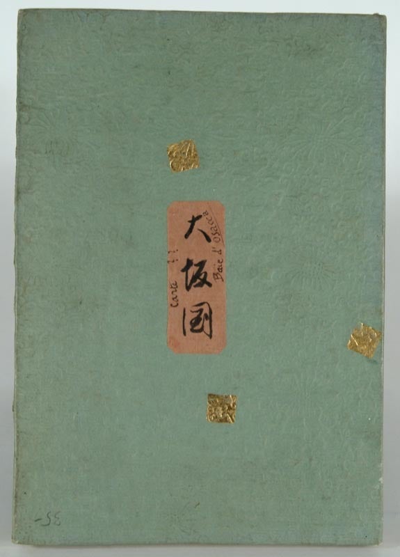
[MAP - JAPAN] — [Settsu No Kuni Meisho]
1748. [MAP - JAPAN]. [SETTSU NO KUNI MEISHO]. Kyoto, Kimura Juyodo, Kan'en Gannen [1748]. A handcolored woodblock printed map of Settsu provice, containing the area of Osaka castle, etc. 117.3 X 129.1 cm, folds into heavy paper covers of approximately 27.7 x 18.9 cm. The original title slip is gone, replaced by a handbrushed label: "Osaka no Kuni" "Carte?? Baie d'Osacca". Lovely and interesting map, found at Beans main volume, p.22, 1748.1. Condition is very good, printed on very strong and supple paper. For a detaiuled illustration, see the record at UBC's website for the Beans copy: http://angel.library.ubc.ca/cdm4/item_viewer.php?CISOROOT=%2Ftokugawa& CISOPTR=286&DMSCALE=50&DMWIDTH=600&DMHEIGHT=600&DMMODE=viewer&DMFULL=0 &DMX=75&DMY=44&DMTEXT=&DMTHUMB=1&REC=2&DMROTATE=0&x=266&y=296 Our copy has different hand-coloring. The Beans copy hand-colors the harbor, ours hand-colors the land, primarily. From the collection of Roger Keyes. .