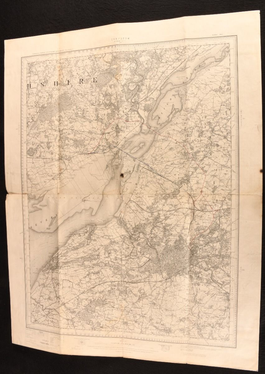
Ordnance Survey — Chepstow
Southampton, Ordnance Survey Office, 1912 . Unbound. A very scarce Ordnance Survey Map showing Bristol and the River Severn, showing the railways of the region and with the routes of the Severn Tunnel and Severn Bridge added by a later hand. A very scarce 1912 Ordnance Survey map, being sheet 250 of the third edition of the Survey.With two hand coloured lines, one in blue and one in red, to the centre of the map. A contemporary owner's inscription to the rear remarks that these lines are 'shewing alternate proposals' for the Severn Tunnel. In actual fact, the blue line shows the Severn Tunnel, while the red line follows the Severn Bridge, which was not opened until 1966.The map depicts Bristol, Chepstow, and the River Severn, with a scale of one inch to one statue mile.First drawn in 1891 by Colonel Sir C. W. Wilson, and revised in 1905 by Colonel R. C. Hellard, this edition of 1912 has been edited to include the railway lines of the region. Unbound. A large folding map on a single sheet. Two hand drawn colour ink lines to the map. Minor handling marks to map perimeters, with small burn resulting in a tiny hole to the centre of the map, and one further small burn to the perimeter of the leaf, not affecting the map. Pencil inscription to map reverse. Very Good . Ill.: Colonel Sir C. W. Wilson; Colonel R. C. Hellard. Very Good .