
Småtryk
Småtryk, postkort, plakater og trykte memorabilia.
Søgeresultater
45746 bøger i Småtryk
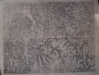
Aschaffenburg, Miltenberg, Tauberbischofsheim, Lohr. Series: Carte de L'Empire D'Allemagne
[20th Century French Cartographer] · 1900 · Wittenborn Art Books
$150.00 (€135.41 | £113.09 | ¥23,969)
[Paris], France: [20th Century French Publisher], [ca 1900]. Folded Map. 76x97 cm. Very Good. Scale: 1:80,000. On verso, number in red: 17. Text in French. .
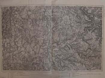
Mosbach, Heilbronn. Series: Carte de L'Empire D'Allemagne
[20th Century French Cartographer] · 1900 · Wittenborn Art Books
$150.00 (€135.41 | £113.09 | ¥23,969)
[Paris], France: [20th Century French Publisher], [ca 1900]. Folded Map. 76x57 cm. Very Good. Scale: 1:80,000. On verso, number in red: 21. Text in French. .
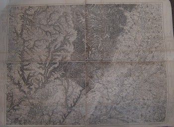
Rastatt. Bubl, Pforzbein, Galvu. Series: Carte de L'Empire D'Allemagne
[20th Century French Cartographer] · 1900 · Wittenborn Art Books
$150.00 (€135.41 | £113.09 | ¥23,969)
[Paris], France: [20th Century French Publisher], [ca 1900]. Folded Map. 76x97 cm. Very Good, some tearing on edges. Scale: 1:80,000. On verso, number in red: 23. Text in French. .
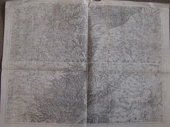
Strassburg, Hagenau, Pfalzburg, Saarbug. Series: Carte de L'Empire D'Allemagne
[20th Century French Cartographer] · 1900 · Wittenborn Art Books
$150.00 (€135.41 | £113.09 | ¥23,969)
[Paris], France: [20th Century French Publisher], [ca 1900]. Folded Map. 76x97 cm. Very Good, some tearing on edges. Scale: 1:80,000. On verso, number in red: 22. Text in French. .
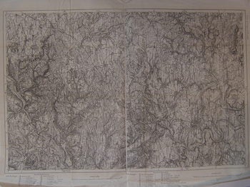
Esslingen, Stuttgart. Series: Carte de L'Empire D'Allemagne
[20th Century French Cartographer] · 1900 · Wittenborn Art Books
$150.00 (€135.41 | £113.09 | ¥23,969)
[Paris], France: [20th Century French Publisher], [ca 1900]. Folded Map. 76x57 cm. Very Good. Scale: 1:80,000. On verso, number in red: 24 Text in French. .
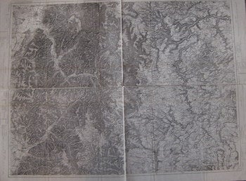
Offenburg, Waldkirch, Villingen, Freudenstadt. Series: Carte de L'Empire D'Allemagne
[20th Century French Cartographer] · 1900 · Wittenborn Art Books
$150.00 (€135.41 | £113.09 | ¥23,969)
[Paris], France: [20th Century French Publisher], [ca 1900]. Folded Map. 76x97 cm. Very Good. Scale: 1:80,000. On verso, number in red: 26 Text in French. .
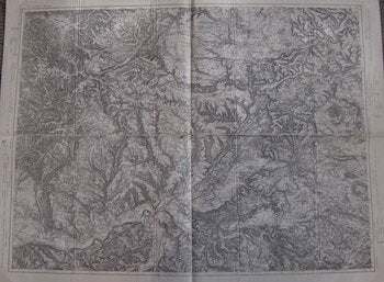
Stublingen, Dongaueschingen, Freidburg, Waldshut. Series: Carte de L'Empire D'Allemagne
[20th Century French Cartographer] · 1900 · Wittenborn Art Books
$150.00 (€135.41 | £113.09 | ¥23,969)
[Paris], France: [20th Century French Publisher], [ca 1900]. Folded Map. 76x97 cm. Very Good. Scale: 1:80,000. On verso, number in red: 29 Text in French. .
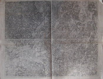
Siegen Dillenburf, Ciessen Marlurg. Series: Carte de L'Empire D'Allemagne
[20th Century French Cartographer] · 1900 · Wittenborn Art Books
$150.00 (€135.41 | £113.09 | ¥23,969)
[Paris], France: [20th Century French Publisher], [ca 1900]. Folded Map. 76x97 cm. Very Good. Scale: 1:80,000. On verso, number in red: 7. Text in French. .
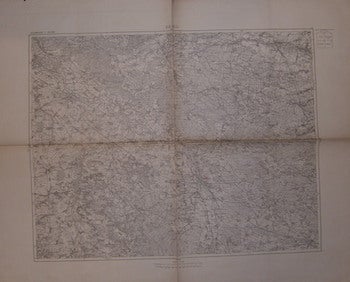
Brieg (Oels). Series: Allemagne
[20th Century French Cartographer] · 1900 · Wittenborn Art Books
$150.00 (€135.41 | £113.09 | ¥23,969)
[Paris], France: [20th Century French Catrogrpaher], [c. 1900]. Folded Military Map. 75x90 cm. Very Good, minor tearing on edges. Scale: 1: 1000,000 Verso: Map of Western Europe with red notations. Text in French. .
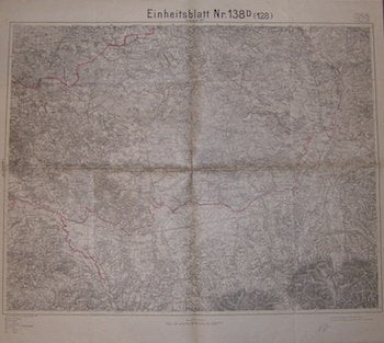
Einheitsblatt Nr. 138d (128), Einheitsblatt 137d
Preußische Landesaufnahme (Prussian State Survey) · 1919 · Wittenborn Art Books
$150.00 (€135.41 | £113.09 | ¥23,969)
[Berlin] Prussia (Germany): Preußische Landesaufnahme (Prussian State Survey),1919. Folded Military Map. 75x90 cm. Very Good. Borders hand-painted onto map. Scale: 1: 1000,000 Text in German. .
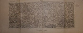
Pless, Beuthen. Series: Allemagne
[20th Century French Cartographer] · 1900 · Wittenborn Art Books
$150.00 (€135.41 | £113.09 | ¥23,969)
[Paris], France: [20th Century French Catrogrpaher], [c. 1900]. Folded Military Map. 38x93 cm. Very Good. Scale: 1: 1000,000 Verso: Partial Map of France. Text in French. .
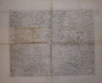
Beuthen (Lublitz). Series: Allemagne
[20th Century French Cartographer] · 1900 · Wittenborn Art Books
$150.00 (€135.41 | £113.09 | ¥23,969)
[Paris], France: [20th Century French Catrogrpaher], [c. 1900]. Folded Military Map. 75x90 cm. Fair, some wear, and tearing along folds, Notations on map in red pencil. Scale: 1: 1000,000 Text in French. .
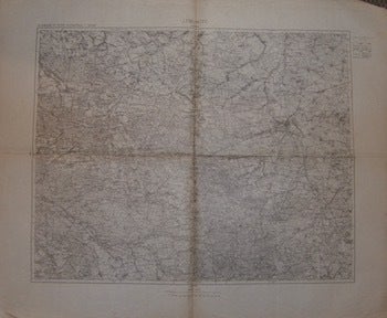
Lubnitz (Lamdsberg). Series: Allemagne Et Russie Occidentale
[20th Century French Cartographer] · 1900 · Wittenborn Art Books
$150.00 (€135.41 | £113.09 | ¥23,969)
[Paris], France: [20th Century French Catrogrpaher], [c. 1900]. Folded Military Map. 75x90 cm. Very Good. Scale: 1: 1000,000 Translucent stamp on perimiter of map: Renage (Isere). Text in French. .
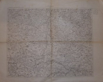
Lamdsberg (Sieradz). Series: Allemagne Et Russie Occidentale
[20th Century French Cartographer] · 1900 · Wittenborn Art Books
$150.00 (€135.41 | £113.09 | ¥23,969)
[Paris], France: [20th Century French Catrogrpaher], [c. 1900]. Folded Military Map. 75x90 cm. Very Good, minor tearing on bottom edge. Scale: 1: 1000,000 Translucent stamp on perimiter of map: Renage (Isere). Text in French. .
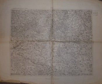
Oles (Krotoschin). Series: Allemagne Et Russie Occidentale
[20th Century French Cartographer] · 1900 · Wittenborn Art Books
$150.00 (€135.41 | £113.09 | ¥23,969)
[Paris], France: [20th Century French Catrogrpaher], [c. 1900]. Folded Military Map. 75x90 cm. Very Good, minor tearing on bottom edge. Scale: 1: 1000,000 Text in French. .
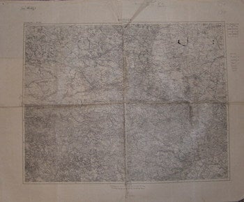
Bethen, Lublitz. Series: Allemagne
[20th Century French Cartographer] · 1900 · Wittenborn Art Books
$150.00 (€135.41 | £113.09 | ¥23,969)
[Paris], France: [20th Century French Catrogrpaher], [c. 1900]. Folded Military Map. 75x90 cm. Good, Notations Inked on map. Scale: 1: 1000,000 Text in French. .
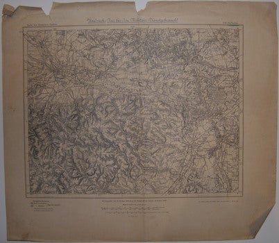
Sheet 536. Hultschin. Series: Karte Des Duetschen Reiches. Umdruck. - Rur Für Den Militair -Diensgebranch
Preußische Landesaufnahme (Prussian State Survey) · 1919 · Wittenborn Art Books
$100.00 (€90.27 | £75.39 | ¥15,980)
[Berlin] Prussia (Germany): Preußische Landesaufnahme (Prussian State Survey),1919. Folded Map. 68x78 cm. Good, tearing around edges. Scale: 1: 100,000 Verso: Partial map of Polgne. Text in German. .
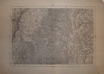
French Military Map. Sheet 254 Strassburg
[315 Regiment d'Infanterie] (France) · 1910 · Wittenborn Art Books
$100.00 (€90.27 | £75.39 | ¥15,980)
[Paris], France: [315 Regiment d'Infanterie], [1910]. Map. 31x45. cm. Scale: 1: 2000,000 On Verso, stamp in blue: 315 Regiment d'Infanterie. El Colenel. Stamp in black: Strassburg -254. Text in French. .
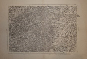
French Military Map. Sheet 253 St. Dié
[315 Regiment d'Infanterie] (France) · 1910 · Wittenborn Art Books
$100.00 (€90.27 | £75.39 | ¥15,980)
[Paris], France: [315 Regiment d'Infanterie], [1910]. Map. 31x45. cm. Very Good. Scale: 1: 2000,000 On Verso, stamp in blue: 315 Regiment d'Infanterie. El Colenel. Stamp in black: St.Die - 253 Text in French. .
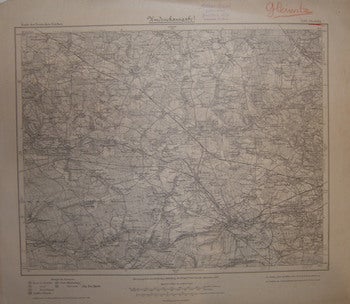
Sheet 500. Gleiwitz. Series: Karte Des Duetschen Reiches
Preußische Landesaufnahme (Prussian State Survey) · 1919 · Wittenborn Art Books
$100.00 (€90.27 | £75.39 | ¥15,980)
[Berlin] Prussia (Germany): Preußische Landesaufnahme (Prussian State Survey),1919. Map. 38x43 cm. Very Good, notations in red pencil on right corner. Scale: 1: 100,000 Distributed by: Arthur Biesel Buchhandlung (Stamp). Text in German. .