
Søg efter bøger
Søgeresultater
2989 resultater for "May Karl"

Deutschland Zwischen Nacht Und Tag (Germany: Between Night and Day)
HEISS, FRIEDRICH · 1934 · RareNonFiction.com - Rare Books and Vintage Magazines
$395.00 (€359.19 | £299.59 | ¥62,982)
Berlin, Germany: Volk Und Reich Verlag, 1934. Reprint. Hardcover. From the estate of Karl Gerhard, NSDAP member and leader of Deutscher Bund Canada. 299, [3], [2 ads], pages. Text in German. Profusely illustrated with overtly propagandistic black and white Nazi-era photos plus s…
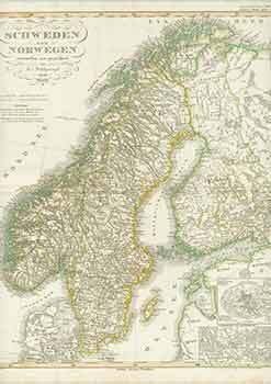
Schweden Und Norwegen (19th Century Map of Sweden and Norway)
F. V. Stülpnagel (engraver) · 1850 · Wittenborn Art Books
$125.00 (€113.67 | £94.81 | ¥19,931)
Gotha, Germany: Justus Perthes Geographische Anstalt, [1850]. 14 x 17 inches. Very Good. Minor foxing on edges of margins, not affecting image. 19th Century folded map, printed in color, with hand colored borders. From Stieler's Hand-Atlas (No. 17). Text in German. Scarce. Johan…

Europaeisches Russland Anch Schweden Norwegen (19th Century Map of European Russia and Sweden Norway)
Justus Perthes · 1850 · Wittenborn Art Books
$125.00 (€113.67 | £94.81 | ¥19,931)
Gotha, Germany: Justus Perthes Geographische Anstalt, [1850]. 14 x 17 inches. Very Good. 19th Century folded map, printed in color, with hand colored borders. From Stieler's Hand-Atlas (No. 37a). Text in German. Scarce. Johann Georg Justus Perthes (11 September 1749, Rudolstadt,…
Frankreich Und Umgebungen Von Paris (19th Century Map of France and Surroundings of Paris)
F. V. Stülpnagel (engraver) · 1850 · Wittenborn Art Books
$125.00 (€113.67 | £94.81 | ¥19,931)
Gotha, Germany: Justus Perthes Geographische Anstalt, [1850]. 14 x 17 inches. Very Good. 19th Century folded map, printed in color, with hand colored borders. From Stieler's Hand-Atlas (No. 14a). Text in German. Scarce. Johann Georg Justus Perthes (11 September 1749, Rudolstadt,…
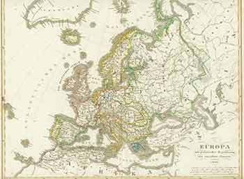
Europa (19th Century Map of Europe)
F. V. Stülpnagel (engraver) · 1848 · Wittenborn Art Books
$125.00 (€113.67 | £94.81 | ¥19,931)
Gotha, Germany: Justus Perthes Geographische Anstalt, [1848]. 14 x 17 inches. Very Good. Some foxing in margins, not affecting image. 19th Century folded map, printed in color, with hand colored borders. From Stieler's Hand-Atlas (No. 12). Text in German. Scarce. Johann Georg Ju…

Griechenland Und Die Johischen Inseln. (19th Century Map of Greece and the Islands)
F. V. Stülpnagel (engraver) · 1850 · Wittenborn Art Books
$125.00 (€113.67 | £94.81 | ¥19,931)
Gotha, Germany: Justus Perthes Geographische Anstalt, [1850s?]. 14 x 17 inches. Very Good. 19th Century folded map, printed in color, with hand colored borders. From Stieler's Hand-Atlas (No. 38c). Text in German. Scarce. Johann Georg Justus Perthes (11 September 1749, Rudolstad…
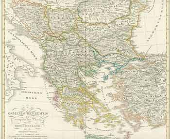
Osmanischen Reichs Europaischer Theil. (19th Century Map of Ottoman Empire's European Part)
F. V. Stülpnagel (engraver) · 1850 · Wittenborn Art Books
$125.00 (€113.67 | £94.81 | ¥19,931)
Gotha, Germany: Justus Perthes Geographische Anstalt, [1850s?]. 14 x 17 inches. Very Good. Some foxing in margins, not affecting image. 19th Century folded map, printed in color, with hand colored borders. From Stieler's Hand-Atlas (No. 38). Text in German. Scarce. Johann Georg …

Südwestliches Deutschland. (19th Century Map of Southwestern Germany)
Justus Perthes · 1850 · Wittenborn Art Books
$125.00 (€113.67 | £94.81 | ¥19,931)
Gotha, Germany: Justus Perthes Geographische Anstalt, [1850s?]. 14 x 17 inches. Very Good. Half inch tear in bottom margin, not affecting image. 19th Century folded map, printed in color, with hand colored borders. From Stieler's Hand-Atlas (No. 24). Text in German. Scarce. Joha…

Die Preuss: Provinzen Preussen Und Posen. (19th Century Map of the Preuss: Provinces of Prussia and Poznan)
Stieler, Adolf (engraver) · 1850 · Wittenborn Art Books
$125.00 (€113.67 | £94.81 | ¥19,931)
Gotha, Germany: Justus Perthes Geographische Anstalt, [1850s - 1870s?]. 14 x 17 inches. Very Good. 19th Century folded map, printed in color, with hand colored borders. No. XXIX, Stieler's Hand-Atlas (No. 22b.). Text in German. Scarce. Johann Georg Justus Perthes (11 September 1…
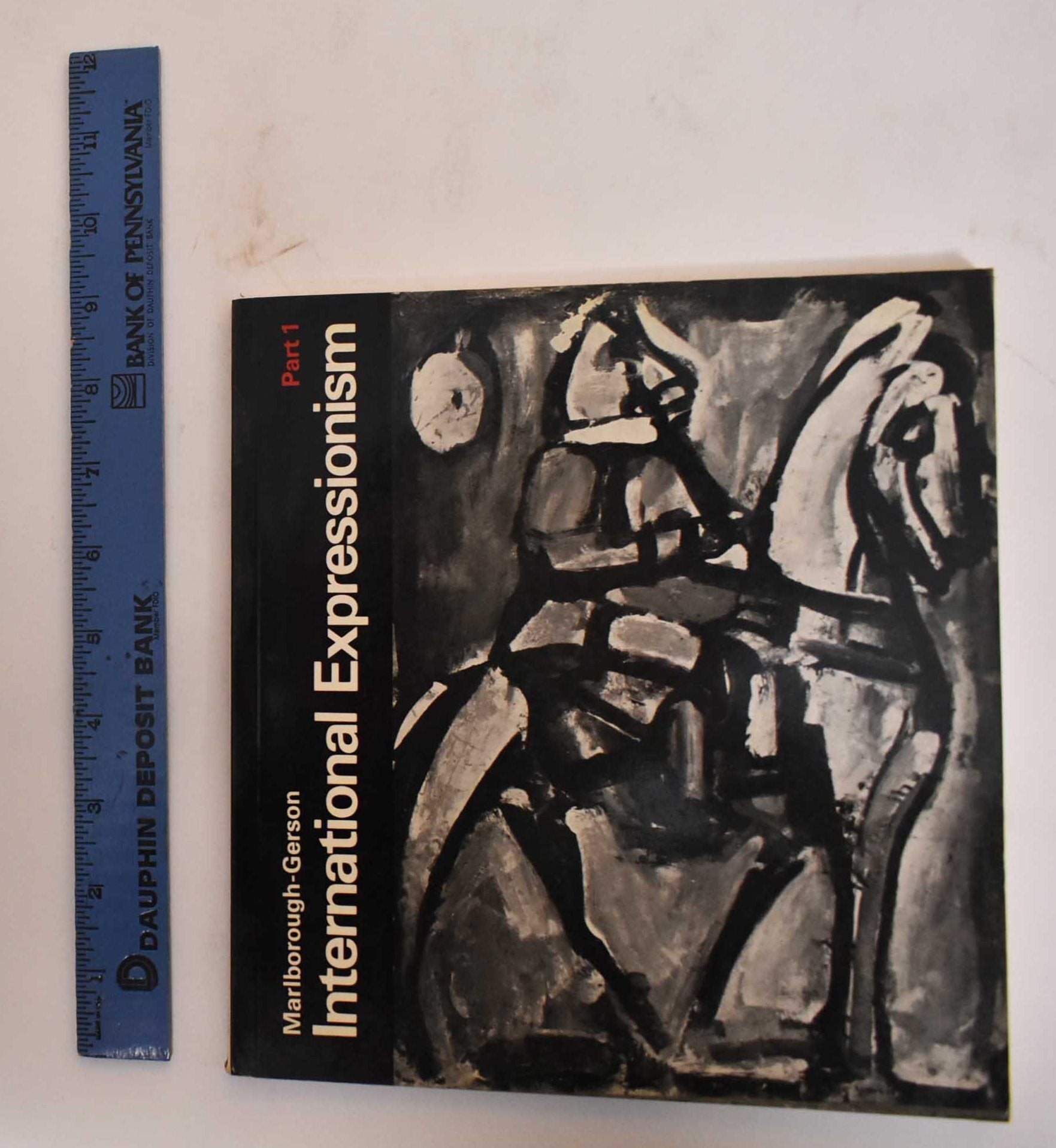
International Expressionism, Part 1
Marlborough-Gerson Gallery · 1968 · Kevin Mullen, Bookseller
$30.40 (€27.64 | £23.06 | ¥4,847)
New York, Marlborough-Gerson, 1968. Softcover. Black glossy, illustrated wraps. [84] pages illustrations (some color). Exhibition April-May 1968, Marlborough-Gerson Gallery inc. New York. Francis Bacon -- Max Beckmann -- Hans Böhler -- Marc Chagall --Lovis Corinth -- Willem de K…

Aus Der Sammlung: Stadt in Bewegung. Ein Ausstellungsprojekt Detr Landesgalerie Linz Des Oberosterreichischen Landesmuseums, Kuratiert Von Studierenden Der Katholischen Privat-Universitat Linz. [Exhibition Catalogue]
Brunnhofer, Anna Maria (ed.); Bindreiter, Nicole (text.); Landesgalerie Linz (Linz) · 2016 · Wittenborn Art Books
$100.00 (€90.93 | £75.84 | ¥15,945)
Linz, Austria: Landesgalerie Linz, 2016. [Exhibition catalogue]. 8vo. 37 pp. Soft, stapled white wraps with color border and black lettering. Very good with marginal creasing along back wrap and damaged staples. Color plates. Includes works by Beat Streuli, Karl-Heinz Klopf, Lor…
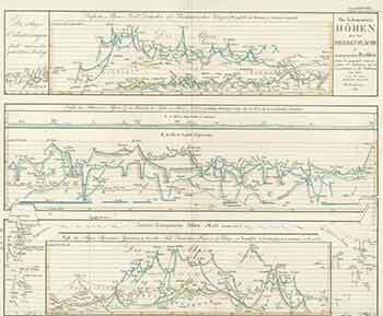
Die Bekanntesten Hohen über Der Meeresfläche in Transparenten Profilen (19th Century Map of the Best Known High Points Above the Sea Surface in Transparent Profiles)
Justus Perthes · 1850 · Wittenborn Art Books
$125.00 (€113.67 | £94.81 | ¥19,931)
Gotha, Germany: Justus Perthes Geographische Anstalt, [1850]. 14 x 17 inches. Very Good. One inch tear in bottom margin along fold, not affecting image. 19th Century folded map, printed in color, with hand colored borders. From Stieler's Hand-Atlas (No. 10). Text in German. Scar…

Ostsee-Laender Und Inneres Russland Bis Moskau (19th Century Map of Baltic Sea Countries and Central Russia to Moscow)
Ausfeld, Joh. Carl. (Johann Carl); F. V. Stülpnagel (engraver) · 1850 · Wittenborn Art Books
$125.00 (€113.67 | £94.81 | ¥19,931)
Gotha, Germany: Justus Perthes Geographische Anstalt, [1850]. 14 x 17 inches. Very Good. 19th Century folded map, printed in color, with hand colored borders. From Stieler's Hand-Atlas (No. 36). Text in German. Scarce. Johann Georg Justus Perthes (11 September 1749, Rudolstadt, …

Nord-ôstliches Deutschland (19th Century Map of North-East Germany)
Ausfeld, Joh. Carl. (Johann Carl) (engraver) · 1850 · Wittenborn Art Books
$125.00 (€113.67 | £94.81 | ¥19,931)
Gotha, Germany: Justus Perthes Geographische Anstalt, [1850]. 14 x 17 inches. Very Good. Minor foxing on edges of margins, not affecting image. 19th Century folded map, printed in color, with hand colored borders. From Stieler's Hand-Atlas (No. 22a). Text in German. Scarce. Joha…
Deutschland, Niederlande, Belgien Und Schweiz (19th Century Map of Germany, Netherlands, Belgium and Switzerland)
F. V. Stülpnagel (engraver) · 1850 · Wittenborn Art Books
$125.00 (€113.67 | £94.81 | ¥19,931)
Gotha, Germany: Justus Perthes Geographische Anstalt, [1850]. 14 x 17 inches. Very Good. Minor foxing on edges of margins, not affecting image. 19th Century folded map, printed in color, with hand colored borders. From Stieler's Hand-Atlas (No. 19). Text in German. Scarce. Johan…

Mittel-ôstliches Deutschland (19th Century Map of Central Eastern Germany)
Ausfeld, Joh. Carl. (Johann Carl); A. Stieler (engraver) · 1850 · Wittenborn Art Books
$125.00 (€113.67 | £94.81 | ¥19,931)
Gotha, Germany: Justus Perthes Geographische Anstalt, [1850s?]. 14 x 17 inches. Very Good. Quarter inch tear in bottom margin, not affecting image. 19th Century folded map, printed in color, with hand colored borders. From Stieler's Hand-Atlas (No. 23). Text in German. Scarce. J…
Galizien, Ungarn Mit Slowenien Und Kroatien, Siebenbürgen (19th Century Map of Galicia, Hungary with Slovenia and Croatia, Transylvania)
Justus Perthes · 1850 · Wittenborn Art Books
$125.00 (€113.67 | £94.81 | ¥19,931)
Gotha, Germany: Justus Perthes Geographische Anstalt, [1850s?]. 14 x 17 inches. Very Good. Half inch tear in bottom margin, not affecting image. 19th Century folded map, printed in color, with hand colored borders. From Stieler's Hand-Atlas (No. 35). Text in German. Scarce. Joha…
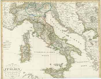
Italien Entworfen Und Gezeichnet Von F.V. Stülpnagel. (19th Century Map of Italy Designed by F.V. Stülpnagel)
F. V. Stülpnagel (engraver) · 1850 · Wittenborn Art Books
$125.00 (€113.67 | £94.81 | ¥19,931)
Gotha, Germany: Justus Perthes Geographische Anstalt, [1850s?]. 14 x 17 inches. Very Good. Some foxing in margins, not affecting image. 19th Century folded map, printed in color, with hand colored borders. From Stieler's Hand-Atlas (No. 33.). Text in German. Scarce. Johann Georg…

Die BŠrenkralle der Kansas. - Handgeschriebene Wild-West-Abenteuergeschichte eines deutschen Jugendlichen aus dem Jahre 1875.
KOLFF MOMSEN, Cornelius G.: · Harteveld Rare Books Ltd.
CHF 850.00 (€920.23 | $1,011.98 | £767.53 | ¥161,359)
in-8vo, Titel + 2 Bl. (Einleitung) + 284 S., hs. auf Vorsatz: meinen beiden Freunden Georg und Fritz Poppenhusen Leineneinb. mit goldgepr. Titel auf Vorderdeckel. Einzigartiger Abenteuerroman eines jungen Zeitgenossen von Karl May, der rund 20 Jahre spŠter mit seinen Wildwestges…
Die Schweiz. Wochenschrift fŸr Literatur und Kunst. N¡ 1 bis N¡ 26. Zus. gebunden mit: Die Schweiz. Illustrierte Zeitschrift fŸr Literatur und Kunst. N¡ 1 (27) bis 13 (39).
VOLMAR, Paul (Hrsg.) / & STOCKER, A.: · 1861 · Harteveld Rare Books Ltd.
CHF 150.00 (€162.39 | $178.58 | £135.45 | ¥28,475)
Verlagsbuchandlung F. A. Stocker. Ill. Buri & Jeker, Bern, 1861, in-4to, 203 S. (+1), reich illustriert // 232 S (inkl. Schweizerisches KŸnstleralbum), am Ende Tintenfleck am oberen Rand, Braunfleck im unteren Rand, ill. mit Holzschnittabb. (auf S. 217 Original kol. Holzschnitt)…