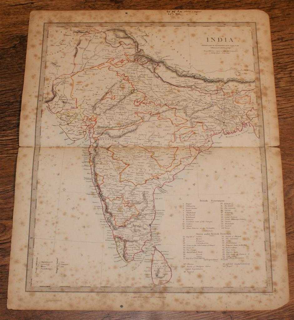
Edward Stanford, J. & C. Walker — Map of India - disbound sheet from 1857 "University Atlas"
Edward Stanford, London, 1857. First Edition, Softcover. Fair Condition/No Dust Jacket. Disbound single Sheet Map with horizontal centre fold from "The University Atlas of Classical and Modern Geography, including all the Recent Geographical Discoveries". Sheet is heavily foxed with darkened edges. Some wear and minor damage to edges and corners. Fold is split at both ends and is a little fragile. Minor annotation in ink (top margin only) and pencil. Area covered includes India and Ceylon (Sri Lanka) and borders with Chinese Tartary (Napal, Tibet) and Afghanistan (now Pakistan). India is divided into: British Possessions, States Under British Protection and Independent States. Sea coasts are coloured in very pale blue and state borders are highlighted in colour. Quantity Available: 1. Shipped Weight: under 1 kg. Pictures of this item not already displayed here available upon request. Inventory No: 45019044037. ISBN: 0520065654