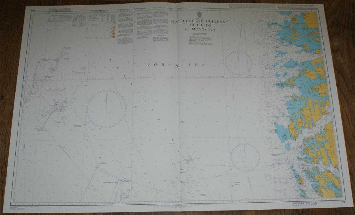
Admiralty — Nautical Chart No. 299 North Sea, Statfjord and Gullfaks Oil Fields to Mongstad
Admiralty, 2005. Revised Edition, Softcover. Very Good Condition/No Dust Jacket. Crisp and clean colour chart with single vertical fold. Nautical Chart No. 299 North Sea, Statfjord and Gullfaks Oil Fields to Mongstad. 2004 edition of 1998 publication with notices to 2005. Scale 1:200,000. Area Covered: Norway (part), Hoven, Floro, Atloyna, Sula, Ytre Sula, Mongstad, Radoyni (part). North Sea (part), Norskerenna, Froysjoen, Stavfjorden, Buefjorden, Sognesjoen, Fensfjorden. Veslefrikk Oil Field, Huldra Gas Field, Statfjord Oil Fields, Tordis Oil Field, Kvitebjorn Gas Field, Snorre Oil Field, etc. Size: 72x104cm. Single sheet map/chart which is suitable for framing and will be shipped rolled and in a cardboard tube. Quantity Available: 1. Shipped Weight: under 1 kg. Pictures of this item not already displayed here available upon request. Inventory No: 45517074021. ISBN: 0718118413