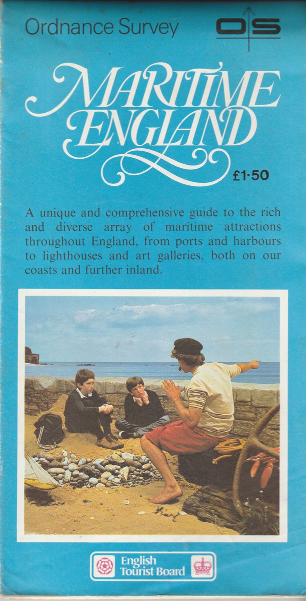
[???] — Maritime England
United Kingdom: Ordnance Survey, 1982. Map. Very Good folding map. Some light foxing and edge-wear to covers. Map clean and bright. Carefully packaged and despatched within 48 hours from our wee bookshop in Scotland.; Maps; 8vo 8" - 9" tall. Very Good .
Machine translation by Google. The original description of the seller is leading.
Log in or create an account to translate descriptions. Log ind
Bognummer:
60879
£14.95 (€17.92 | $19.74 | ¥3,147)