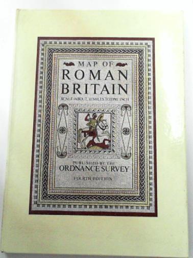
[ORDNANCE SURVEY] — Map of Roman Britain
Southampton, Ordnance Survey, 1978. Used - Very Good. 4th edition. 2 folding maps (North & South sheets) in pocket at front, with 32pp accompanying booklet, in glazed boards. A clean, bright copy in firm binding. Scale about 1:625000 or 1 inch to 10 miles Photo:http://cibimages.blob.core.windows.net/img-1/stand_101361_jpg.jpg.
Machine translation by Google. The original description of the seller is leading.
Log in or create an account to translate descriptions. Log ind
Bognummer:
BOOKS323267I
£17.50 (€20.88 | $22.90 | ¥3,632)