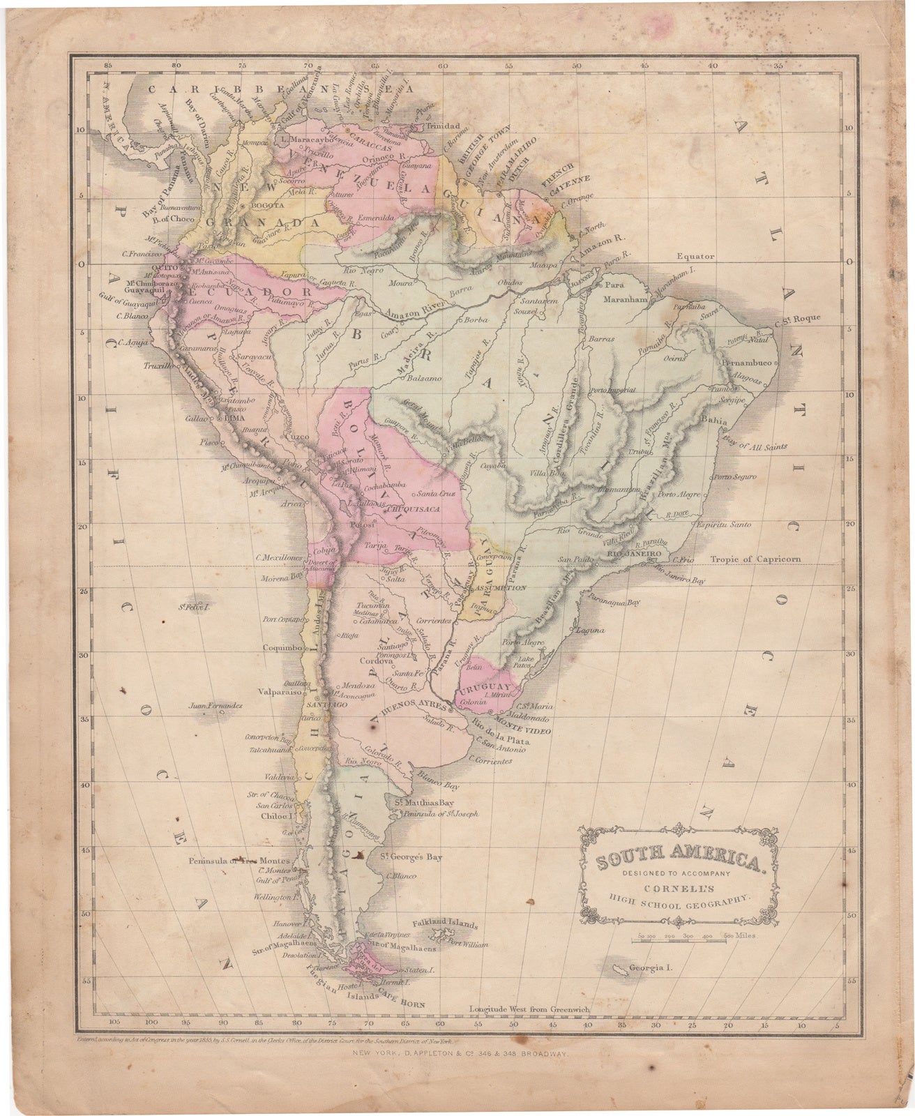
Cornell, S.S. — [Map] South America Designed to Accompany Cornell's High School Geography
Signeret
New York, D. Appleton & Co. 1855. 1 sheet. Hand colored map. 9.5 x 12 inches. Entered according to an Act of Congress, in the year 1855, by S.S. Cornell in the Clerks Office of the District Court for the Southern District of New York. Verso contains portion of map of "Western Division of the United States". Map taken from "Cornell's companion atlas to Cornell's high school geography: comprising a complete set of maps, designed for the student to memorize, together with numerous maps for reference, etc. A good copy, marginal damp stain, some soiling, mainly in the margins.
Machine translation by Google. The original description of the seller is leading.
Log in or create an account to translate descriptions. Log ind
Bognummer:
44581
$100.00 (€91.04 | £76.24 | ¥15,921)