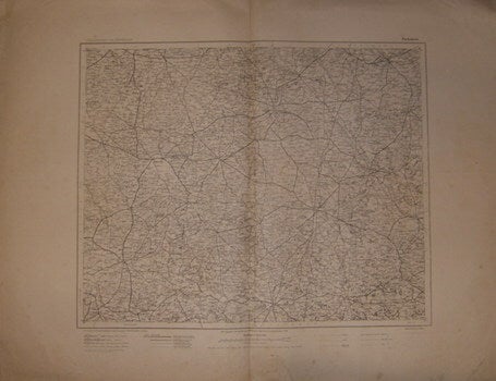
Preußische Landesaufnahme (Prussian State Survey) — Piotrków. Series: ûbersichtskarte Von Mitteleuropa (Overview Map of Central Europe)
[Berlin] Prussia (Germany): Preußische Landesaufnahme (Prussian State Survey), 1909. Folded Map. 54x69 cm. Good, water damage on edges, else Very Good. Scale: 1: 3000,000 Text in German. .
Machine translation by Google. The original description of the seller is leading.
Log in or create an account to translate descriptions. Log ind
Bognummer:
69-7026
$100.00 (€91.16 | £76.09 | ¥15,959)