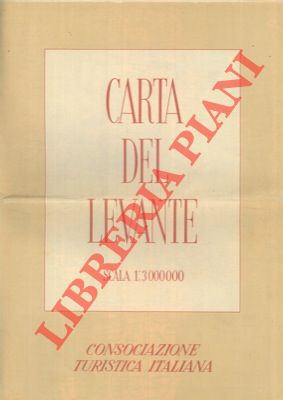
Consociazione Turistica Italiana - — Carta del Levante.
Milano, CTI, 1942, grande carta geografica (Grecia, Turchia, Siria, Irak, Iran, ecc.) di cm. 100 x 70, alla scala 1: 3.000.00, piu' volte ripiegata e contenuta in apposita carpetta illustrata.
Machine translation by Google. The original description of the seller is leading.
Log in or create an account to translate descriptions. Log ind
Bognummer:
2-10598
€16.00 ($17.56 | £13.33 | ¥2,798)