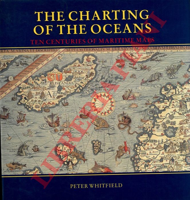
WHITFIELD PETER - — The Charting of the oceans. Ten centuries of maritime maps.
Smudsomslag
London, The British Library, 1996, 4to quadrato (cm. 27 x 29) tutta tela editoriale con sovraccopertina illustrata a colori, pp. 136 con numerosissime illustrazioni in nero e a colori nel testo. Stato di nuovo.
Machine translation by Google. The original description of the seller is leading.
Log in or create an account to translate descriptions. Log ind
Bognummer:
2-99079
€20.00 ($21.94 | £16.77 | ¥3,478)