Samuel Butler — An Atlas of Ancient Geography
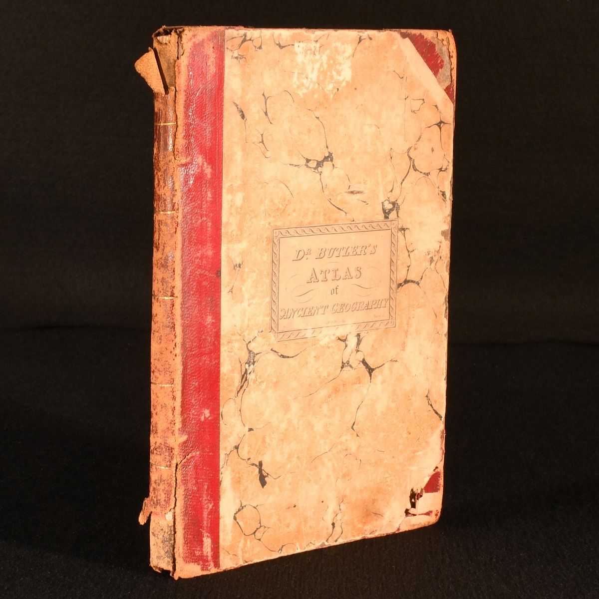
London, Longman, Brown, Green, & Longman's, 1847 . Leather. Illustrated with twenty-two engraved maps of the ancient world, this is a wonderful 'atlas of ancient geography' from Samuel Butler. First published in the 1820s, this is an impressive 19th century atlas. With an engraved title page, with twenty-two hand coloured maps. Collated, complete. With index to the rear. Undated; dated 1847 via the University of Oxford Libraries. A series of engraved maps with an accompanying geographical index, depicting the ancient world at key periods, illustrating the political boundaries, cities, provinces, and physical features of Greece, Italy, Asia Minor, and the Roman Empire. In a half morocco binding with marbled paper covered boards. Rubbing to board perimeters and back strip. Losses of calf to back strip head and tail. Joint heads and tails starting, but boards remain firmly held. Loss to tail of front free endpaper. Internally, firmly bound. Pages clean and bright. Good . Ill.: Not Stated. Good .