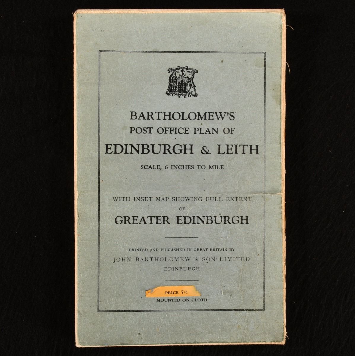
John Bartholomew — Post Office Plan of Edinburgh and Leith
Edinburgh , John Bartholomew and Son , 1940-1941 . Brochure/Pamphlet. A stunning fold out map of Edinburgh and Leith with a scale of 6 inches to a mile on one folded sheet. This is a stunning fold out map of Edinburgh and Leith with a scale of 6 inches to a mile. At the time, Bartholomew's half-inch maps were the most up-to-date large scale maps that could be obtained. The maps are fully contoured and show Hostels, gold courses, National Trust properties, inns, hotel, boundaries, lakes, rivers and woods. In cloth wraps with one folded sheet of linen. Externally, smart. The wraps are a little faded. Internally, the sheet is smart with some signs of ware to the folds but remains bright and clean. Very Good . Ill.: Not Stated. Very Good .