Jonathan Otley — A Concise Description of the English Lakes, and Adjacent Mountains
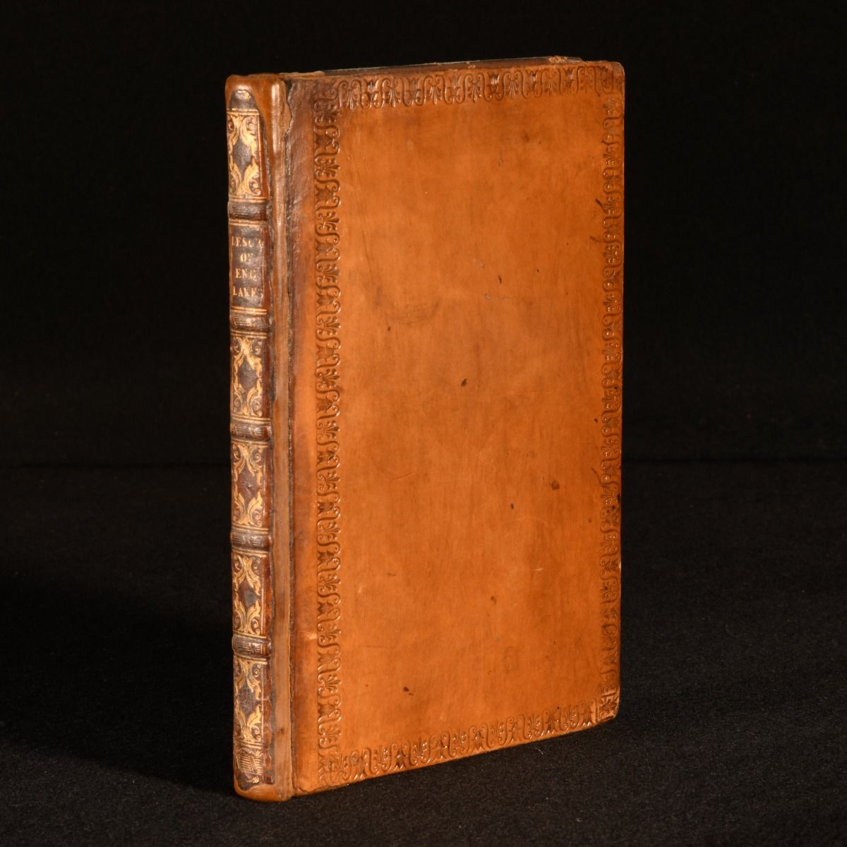
London, Published by the author by John Richardson , 1825 . Leather. The second edition of Jonathan Otley's very scarce topographical work on English lakes and mountains, with a folding map. The second edition. First published in 1823. Bound in full calf, rebacked and with the spine laid down. Endpapers and blanks have been renewed. Scarce work, in any early edition. Compiled by self-taught geologist, cartographer and meteorologist, Jonathan Otley, who drew the first map of the English Lakes in 1818. Due to his publication of this 'Concise Description of the English Lakes', Otley became known as the father of Lakeland Geology. A comprehensive study of the English lakes and surrounding areas, with general directions to tourists, including observations of the mineralogy and geology of the district, on meteorology, on the floating island in Derwent Lake and the black-lead mine in Borrowdale.Illustrated with a folding map of the district of the lakes. Tipped-in to the front blank.Collated, complete. Bound in full calf, rebacked and with the spine laid down. Endpapers and blanks have been renewed. Externally, smart, with light rubbing to the extremities and the odd mark. Internally, firmly bound. Pages are a little age toned, with light scattered spotting and the occasional light tide mark to the page extremities, not affecting text. One or two closed tears to map extremities and the odd spot, with sympathetic tape repair. Very Good . Ill.: Not Stated. Very Good .