
Småtryk
Småtryk, postkort, plakater og trykte memorabilia.
Søgeresultater
45746 bøger i Småtryk
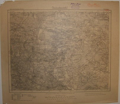
Sheet 501. Beuthen. Series: Karte Des Duetschen Reiches
Preußische Landesaufnahme (Prussian State Survey) · 1919 · Wittenborn Art Books
$100.00 (€90.27 | £75.39 | ¥15,980)
[Berlin] Prussia (Germany): Preußische Landesaufnahme (Prussian State Survey),1919. Map. 38x43 cm. Good, notations in red pencil on right corner and minor tearing on edges. Scale: 1: 100,000 Distributed by: Arthur Biesel Buchhandlung (Stamp). Text in German. .
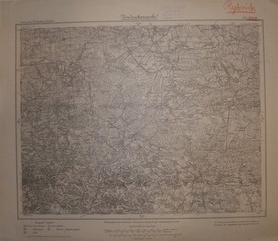
Sheet 520. Rybnik. Series: Karte Des Duetschen Reiches
Preußische Landesaufnahme (Prussian State Survey) · 1919 · Wittenborn Art Books
$100.00 (€90.27 | £75.39 | ¥15,980)
[Berlin] Prussia (Germany): Preußische Landesaufnahme (Prussian State Survey),1919. Map. 38x43 cm. Very Good, notations in red pencil on right corner. Scale: 1: 100,000 Distributed by: Arthur Biesel Buchhandlung (Stamp). Text in German. .
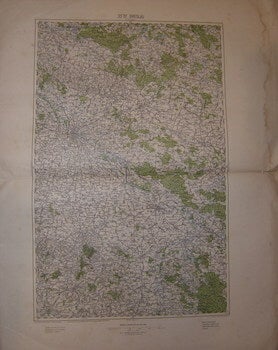
35°51° Breslau
le Service Géographique de l'Armée · 1900 · Wittenborn Art Books
$150.00 (€135.41 | £113.09 | ¥23,969)
[Paris] France: le Service Géographique de l'Armée, [c. 1900]. Folded Military Map. 70x55 cm. Good, water damage on edges, else Very Good. Scale: 1: 200,000. Text in French. .
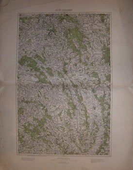
34°50° Josefstadt
le Service Géographique de l'Armée · 1900 · Wittenborn Art Books
$150.00 (€135.41 | £113.09 | ¥23,969)
[Paris] France: le Service Géographique de l'Armée, [c. 1900]. Folded Military Map. 70x55 cm. Good, water damage on edges, else Very Good. Scale: 1: 200,000. Text in French. .
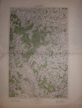
35°50° Olmütz
le Service Géographique de l'Armée · 1900 · Wittenborn Art Books
$150.00 (€135.41 | £113.09 | ¥23,969)
[Paris] France: le Service Géographique de l'Armée, [c. 1900]. Folded Military Map. 70x55 cm. Good, water damage on edges, else Very Good. Scale: 1: 200,000. Text in French. .
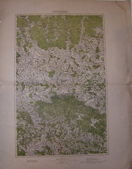
33°51°Reinchenberg
le Service Géographique de l'Armée · 1900 · Wittenborn Art Books
$150.00 (€135.41 | £113.09 | ¥23,969)
[Paris] France: le Service Géographique de l'Armée, [c. 1900]. Folded Military Map. 70x55 cm. Good, water damage on edges, else Very Good. Scale: 1: 200,000. Text in French. .
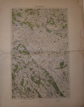
34°51° Schweidnitz
le Service Géographique de l'Armée · 1900 · Wittenborn Art Books
$150.00 (€135.41 | £113.09 | ¥23,969)
[Paris] France: le Service Géographique de l'Armée, [c. 1900]. Folded Military Map. 70x55 cm. Good, water damage on edges, else Very Good. Scale: 1: 200,000. Text in French. .
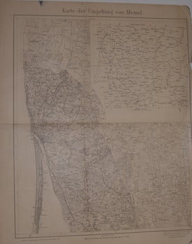
Karte Der Umgebung Von Memel. 1914
Preußische Landesaufnahme (Prussian State Survey) · 1914 · Wittenborn Art Books
$100.00 (€90.27 | £75.39 | ¥15,980)
[Berlin] Prussia (Germany): Preußische Landesaufnahme (Prussian State Survey), 1914. Folded Map. 55x62 cm. Good, tearing on edges, else Very Good. Scale: 1: 3000,000 Contains inlaid overview map. Text in German. .
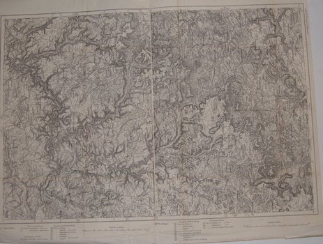
633. Sigmaringen. 619. Reutlingen. Series: Carte de L'Empire D'Allemagne
[20th Century French Cartographer] · 1900 · Wittenborn Art Books
$150.00 (€135.41 | £113.09 | ¥23,969)
[Paris], France: [20th Century French Publisher], [ca 1900]. Folded Map. 57x72 cm. Very Good. Scale: 1:80,000. On verso, number in red: 27. Text in French. .
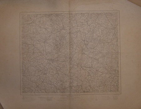
Posen. Series: ûbersichtskarte Von Mitteleuropa (Overview Map of Central Europe)
Preußische Landesaufnahme (Prussian State Survey) · 1909 · Wittenborn Art Books
$100.00 (€90.27 | £75.39 | ¥15,980)
[Berlin] Prussia (Germany): Preußische Landesaufnahme (Prussian State Survey), 1909. Folded Map. 54x69 cm. Good, water damage on edges, else Very Good. Scale: 1: 3000,000 Text in German. .
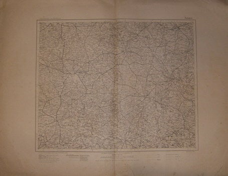
Piotrków. Series: ûbersichtskarte Von Mitteleuropa (Overview Map of Central Europe)
Preußische Landesaufnahme (Prussian State Survey) · 1909 · Wittenborn Art Books
$100.00 (€90.27 | £75.39 | ¥15,980)
[Berlin] Prussia (Germany): Preußische Landesaufnahme (Prussian State Survey), 1909. Folded Map. 54x69 cm. Good, water damage on edges, else Very Good. Scale: 1: 3000,000 Text in German. .
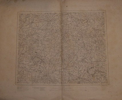
Breslau. Series: ûbersichtskarte Von Mitteleuropa (Overview Map of Central Europe)
Preußische Landesaufnahme (Prussian State Survey) · 1902 · Wittenborn Art Books
$100.00 (€90.27 | £75.39 | ¥15,980)
[Berlin] Prussia (Germany): Preußische Landesaufnahme (Prussian State Survey), 1902. Folded Map. 54x69 cm. Good, water damage on edges, else Very Good. Scale: 1: 3000,000 Text in German. .
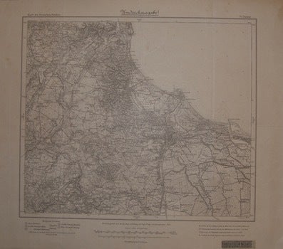
Sheet 70. Danzig. Series: Karte Des Duetschen Reiches
Preußische Landesaufnahme (Prussian State Survey) · 1919 · Wittenborn Art Books
$100.00 (€90.27 | £75.39 | ¥15,980)
[Berlin] Prussia (Germany): Preußische Landesaufnahme (Prussian State Survey),1919. Map. 38x43 cm. Very Good. Scale: 1: 100,000 Sticker: Eisenschmidt's Book and Map Shop Distribution Center, Berlin. Text in German. .
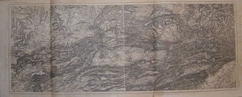
Sheet 668. Pfirt - Sheet 669 Oltingen. Alsace-Lorraine. 9. Cercle D'Altkirch, District de Hte. Alsace. Series: Carte de L'Empire D'Allemagne
[20th Century French Cartographer] · 1900 · Wittenborn Art Books
$150.00 (€135.41 | £113.09 | ¥23,969)
[Paris], France: [20th Century French Publisher], [ca 1900]. Folded Map. 42x102 cm. Very Good. Scale: 1:80,000. On verso, number in red: 31 Text in French. .
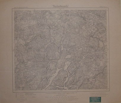
Sheet 69. Karthaus. Series: Karte Des Duetschen Reiches
Preußische Landesaufnahme (Prussian State Survey) · 1918 · Wittenborn Art Books
$100.00 (€90.27 | £75.39 | ¥15,980)
[Berlin] Prussia (Germany): Preußische Landesaufnahme (Prussian State Survey), 1918. Map. 38x43 cm. Very Good. Scale: 1: 100,000 Green Sticker: Eisenschmidt's Book and Map Shop Distribution Center, Berlin. Text in German. .
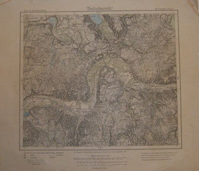
Sheet 46. Neustadt in West-Pr. Series: Karte Des Duetschen Reiches
Preußische Landesaufnahme (Prussian State Survey) · 1919 · Wittenborn Art Books
$100.00 (€90.27 | £75.39 | ¥15,980)
[Berlin] Prussia (Germany): Preußische Landesaufnahme (Prussian State Survey, 1919. Map. 38x43cm. Good, some tears on edges, else Very Good. Scale: 1: 100,000 Text in German. .
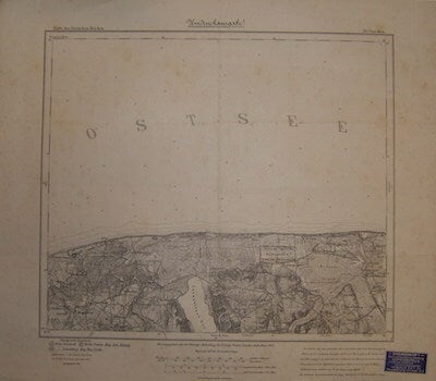
Sheet 26. Ossecken. Series: Karte Des Duetschen Reiches
Preußische Landesaufnahme (Prussian State Survey) · 1918 · Wittenborn Art Books
$100.00 (€90.27 | £75.39 | ¥15,980)
[Berlin] Prussia (Germany): Preußische Landesaufnahme (Prussian State Survey), 1918. Map. 38x43 cm.Very Good. Scale: 1: 100,000 Blue Sticker: Eisenschmidt's Book and Map Shop Distribution Center, Berlin. Text in German. .
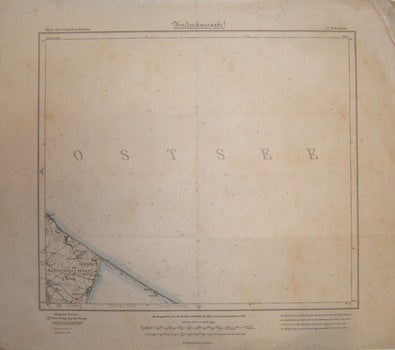
Sheet 27. Schwarzau. Series: Karte Des Duetschen Reiches
Preußische Landesaufnahme (Prussian State Survey) · 1911 · Wittenborn Art Books
$100.00 (€90.27 | £75.39 | ¥15,980)
[Berlin] Prussia (Germany): Preußische Landesaufnahme (Prussian State Survey), 1911. Map. 48x43 cm.Very Good. Scale: 1: 100,000 Text in German. .
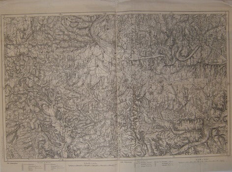
Schweinfurt ; Würzburg. Series: Carte de L'Empire D'Allemagne
[20th Century French Cartographer] · 1900 · Wittenborn Art Books
$150.00 (€135.41 | £113.09 | ¥23,969)
[Paris], France: [19th Century French Publisher], [ca 1900]. Map: en noir ; 71x46 cm. Very Good. Scale: 1: 80,000. On verso, number in red: 13 Text in French. .

Evropske Malirstvi 20. Stoleti
Narondi Galerie Praha · 0 · Wittenborn Art Books
$50.00 (€45.14 | £37.70 | ¥7,990)
Prague, Czechia: Narondi Galerie Praha. 16mo. 16 pp + 12 postcards. Staplebound Wraps. Colored Plates on postcards. Very Good, Booklet is in multiple European languages; housed in a folder folded 3 ways. From the collection of the late Frederick G Ruffner Jr, founder of Gale R...