
Bailgate Books Ltd
Bøger
8001 bøger fra Bailgate Books Ltd

Nautical Chart No. 4972 United States, Alaska - Southeast Coast, Etolin Island to Midway Islands including Sumner Strait
Admiralty · 2005
£22.00 (€26.41 | $29.08 | ¥4,634)
Map Admiralty, 2005. Revised Edition, Softcover. Good Condition/No Dust Jacket. Crisp colour chart with two vertical and two horizontal folds. Sheet has small elongated tear/hole in the area of Clarence Strait. Some pencil bearings. Nautical Chart No. 4972 United States, Alask...

Nautical Chart No. 4935 Canada, British Columbia, Hecate Strait - Chatham Sound, Malacca Passage to Bell Passage
Admiralty · 2005
£26.00 (€31.21 | $34.37 | ¥5,476)
Map Admiralty, 2005. Revised Edition, Softcover. Very Good Condition/No Dust Jacket. Crisp and clean colour chart with single horizontal and two vertical folds. Nautical Chart No. 4935 Canada, British Columbia, Hecate Strait - Chatham Sound, Malacca Passage to Bell Passage. 20...

Nautical Chart No. 4981 United States, Alaska - South Coast, Prince William Sound, Port Fidalgo and Valdez Arm
Admiralty · 2005
£26.00 (€31.21 | $34.37 | ¥5,476)
Map Admiralty, 2005. Revised Edition, Softcover. Very Good Condition/No Dust Jacket. Crisp and clean colour chart with single horizontal and two vertical folds. Nautical Chart No. 4981 United States, Alaska - South Coast, Prince William Sound, Port Fidalgo and Valdez Arm. 2001...
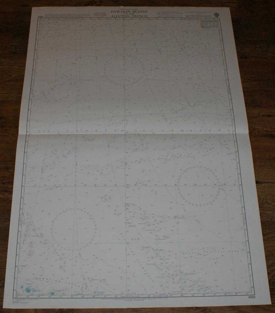
Nautical Chart No. 4805 North Pacific Ocean, Hawaiian Islands to the Aleutian Trench
Admiralty · 2003
£24.00 (€28.81 | $31.73 | ¥5,055)
Map Admiralty, 2003. Revised Edition, Softcover. Very Good Condition/No Dust Jacket. Crisp and clean colour chart with single horizontal fold. Nautical Chart No. 4805 North Pacific Ocean, Hawaiian Islands to the Aleutian Trench. 2003 edition of 1982 publication. Scale 1:3,500,...
Nautical Chart No. 425 West Indies - Ports and Anchorages on the North Coast of Cuba
Admiralty · 1998
£22.00 (€26.41 | $29.08 | ¥4,634)
Map Admiralty, 1998. Revised Edition, Softcover. Very Good Condition/No Dust Jacket. Crisp and clean black and white chart with single vertical fold. Nautical Chart No. 425 West Indies - Ports and Anchorages on the North Coast of Cuba. Copyright 1998. Sheet contains five separ...
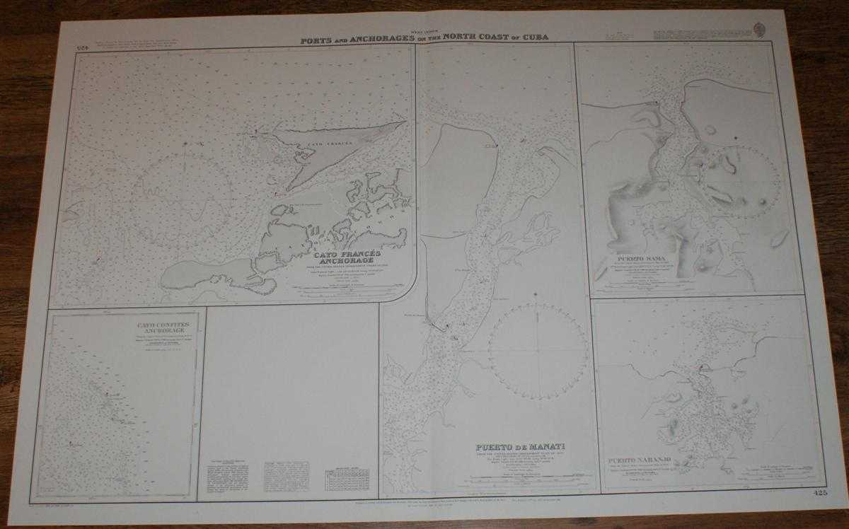
Nautical Chart No.425 West Indies - Ports and Anchorages on the North Coast of Cuba
Admiralty · 2000
£26.00 (€31.21 | $34.37 | ¥5,476)
Map Admiralty, 2000. Revised Edition, Softcover. Very Good Condition/No Dust Jacket. Crisp and clean black and white chart with single vertical fold. Nautical Chart No. 425 West Indies - Ports and Anchorages on the North Coast of Cuba. Copyright 1998. Sheet contains five separ...
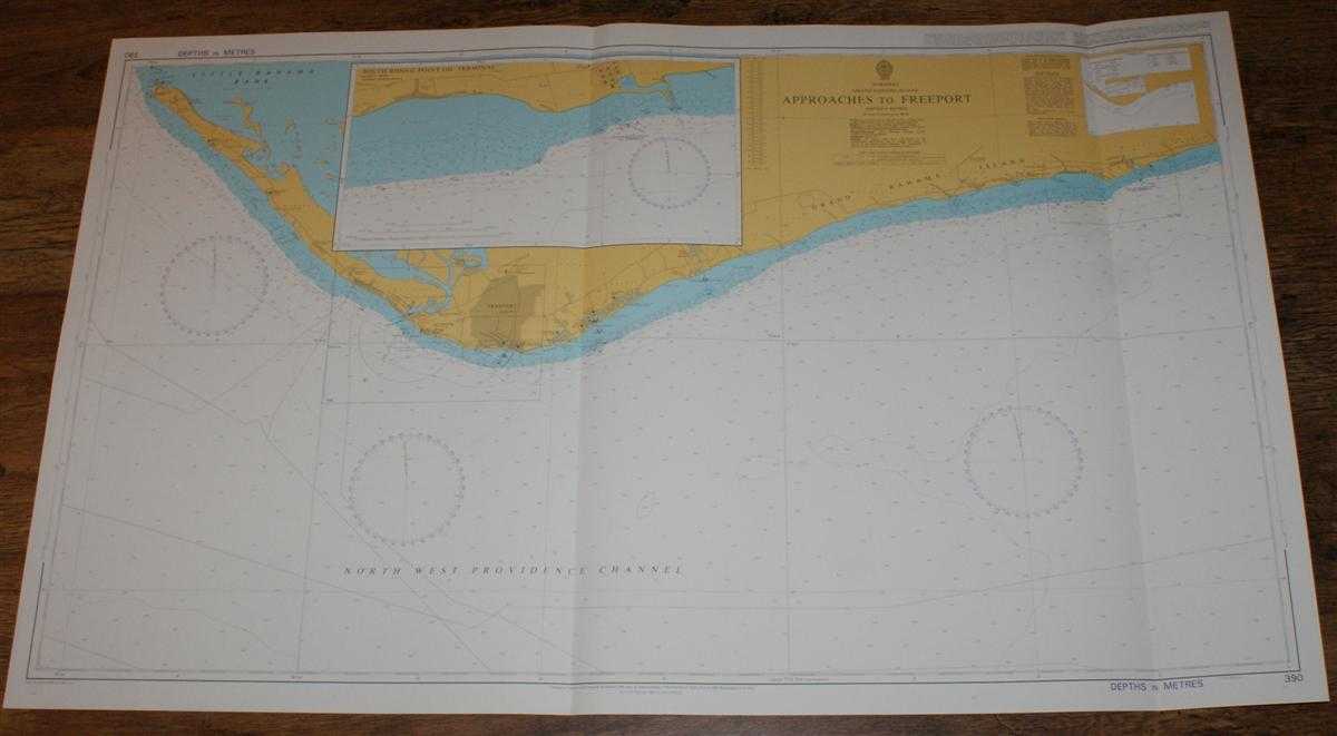
Nautical Chart No. 390 Bahamas - Grand Bahama Island, Approaches to Freeport
Admiralty · 2001
£26.00 (€31.21 | $34.37 | ¥5,476)
Map Admiralty, 2001. Revised Edition, Softcover. Very Good Condition/No Dust Jacket. Crisp and clean colour chart with two vertical folds. Nautical Chart No. 390 Bahamas - Grand Bahama Island, Approaches to Freeport. Copyright 1998 with small corrections to 2001. Scale 1:75,00...

Nautical Chart No. 3803 Cuba - South Coast, Ensenada de Mora to Canal Balandras
Admiralty · 1998
£26.00 (€31.21 | $34.37 | ¥5,476)
Map Admiralty, 1998. Revised Edition, Softcover. Very Good Condition/No Dust Jacket. Crisp and clean black and white chart with single vertical fold. Nautical Chart No. 3803 Cuba - South Coast, Ensenada de Mora to Canal Balandras. Copyright 1998. Scale 1:100,000. Area Covered:...
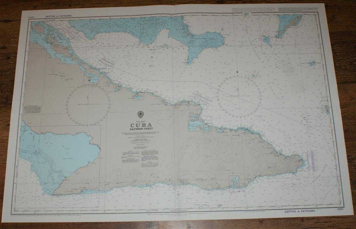
Nautical Chart No. 3865 West Indies - Cuba, Eastern Sheet
Admiralty · 2001
£26.00 (€31.21 | $34.37 | ¥5,476)
Map Admiralty, 2001. Revised Edition, Softcover. Very Good Condition/No Dust Jacket. Crisp and clean colour chart with single vertical fold. Nautical Chart No. 3865 West Indies - Cuba, Eastern Sheet. Copyright 1989 with small corrections to 2001. Scale 1:500,000. Area Covered:...
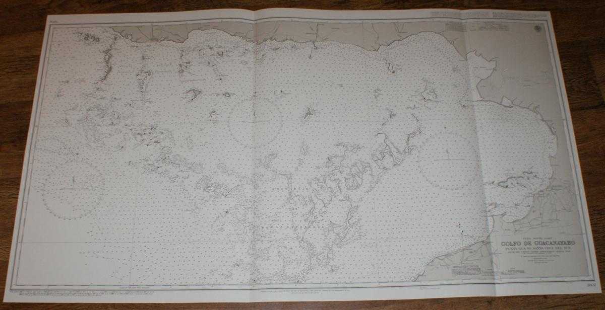
Nautical Chart No. 3802 Cuba - South Coast, Golfo de Guacanayabo, Punta Gua to Santa Cruz del Sur
Admiralty · 2000
£26.00 (€31.21 | $34.37 | ¥5,476)
Map Admiralty, 2000. Revised Edition, Softcover. Very Good Condition/No Dust Jacket. Crisp and clean black and white chart with two vertical folds. Nautical Chart No. 3802 Cuba - South Coast, Golfo de Guacanayabo, Punta Gua to Santa Cruz del Sur. Copyright 1963 with small corr...

Nautical Chart No. 3800 West Indies, Cuba - South Coast, Cayo Anclitas to Puerto Casilda
Admiralty · 1998
£26.00 (€31.21 | $34.37 | ¥5,476)
Map Admiralty, 1998. Revised Edition, Softcover. Very Good Condition/No Dust Jacket. Crisp and clean black and white chart with two vertical folds. Nautical Chart No. 3800 West Indies, Cuba - South Coast, Cayo Anclitas to Puerto Casilda. Copyright 1993 with small corrections t...
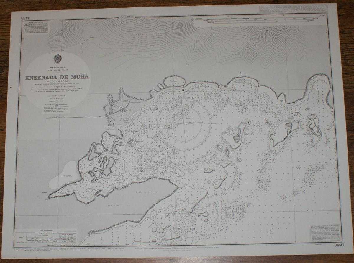
Nautical Chart No. 3450 West Indies, Cuba - South Coast, Ensenada de Mora
Admiralty · 1998
£20.00 (€24.01 | $26.44 | ¥4,213)
Map Admiralty, 1998. Revised Edition, Softcover. Very Good Condition/No Dust Jacket. Crisp and clean black and white chart with no formal fold. Nautical Chart No. 3450 West Indies, Cuba - South Coast, Ensenada de Mora. Copyright 1904 with small corrections to 1998. Scale 1:14,...
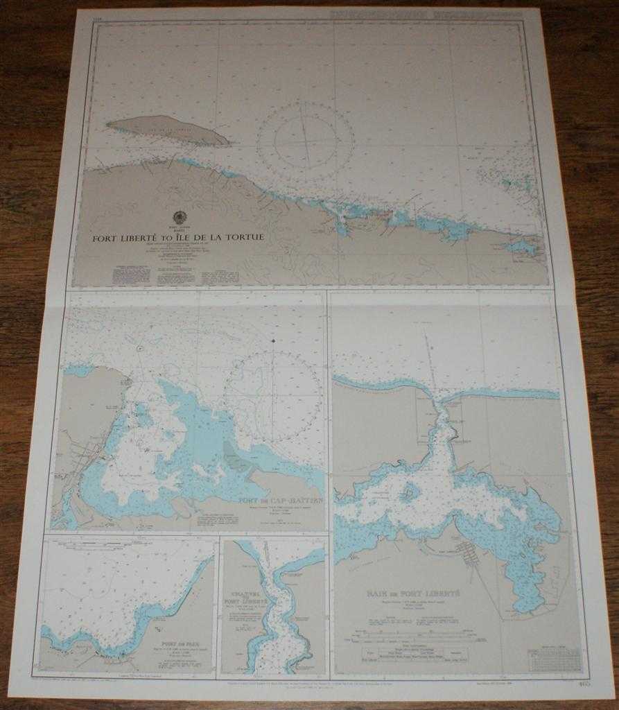
Nautical Chart No. 465 West Indies - Haiti, Fort Liberte to Ile de la Tortue
Admiralty · 1999
£26.00 (€31.21 | $34.37 | ¥5,476)
Map Admiralty, 1999. Revised Edition, Softcover. Very Good Condition/No Dust Jacket. Crisp and clean colour chart with single horizontal fold. Nautical Chart No. 465 West Indies - Haiti, Fort Liberte to Ile de la Tortue. Copyright 1988 with small corrections to 1999. Sheet con...
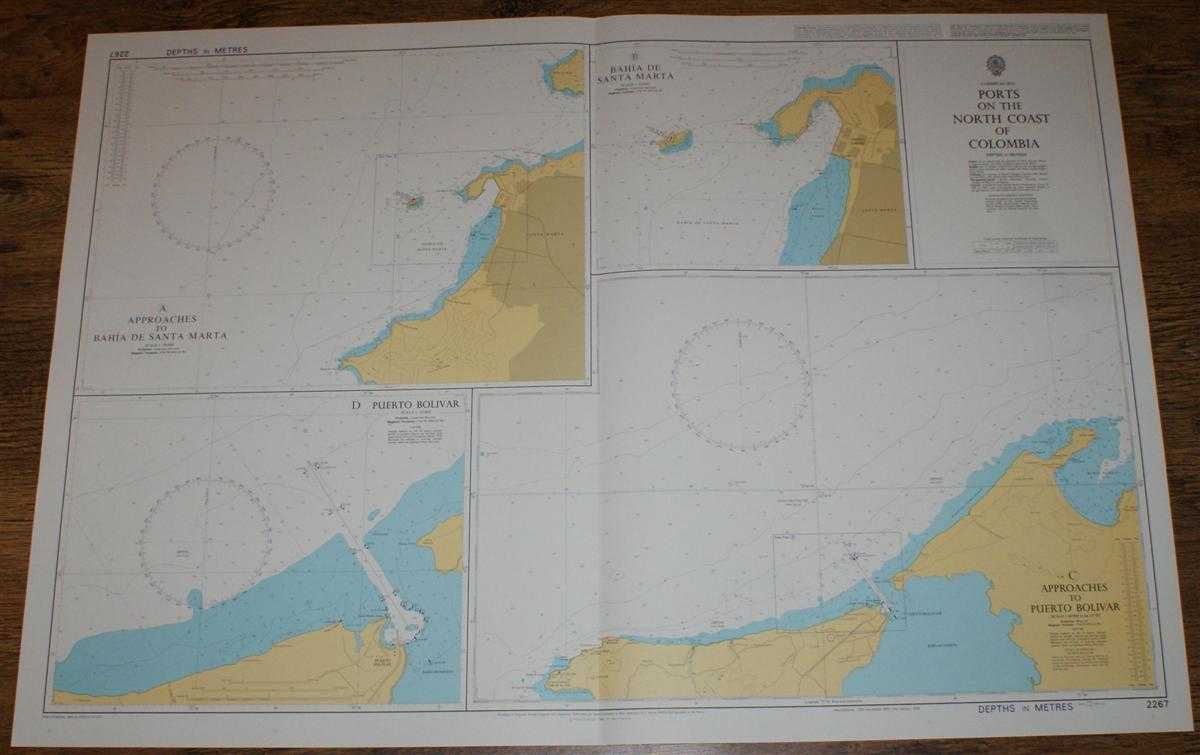
Nautical Chart No. 2267 Caribbean Sea - Ports on the North Coast of Columbia
Admiralty · 2002
£26.00 (€31.21 | $34.37 | ¥5,476)
Map Admiralty, 2002. Revised Edition, Softcover. Very Good Condition/No Dust Jacket. Crisp and clean colour chart with single vertical fold. Nautical Chart No. 2267 Caribbean Sea - Ports on the North Coast of Columbia. Copyright 1999 with small corrections to 2002. Sheet conta...
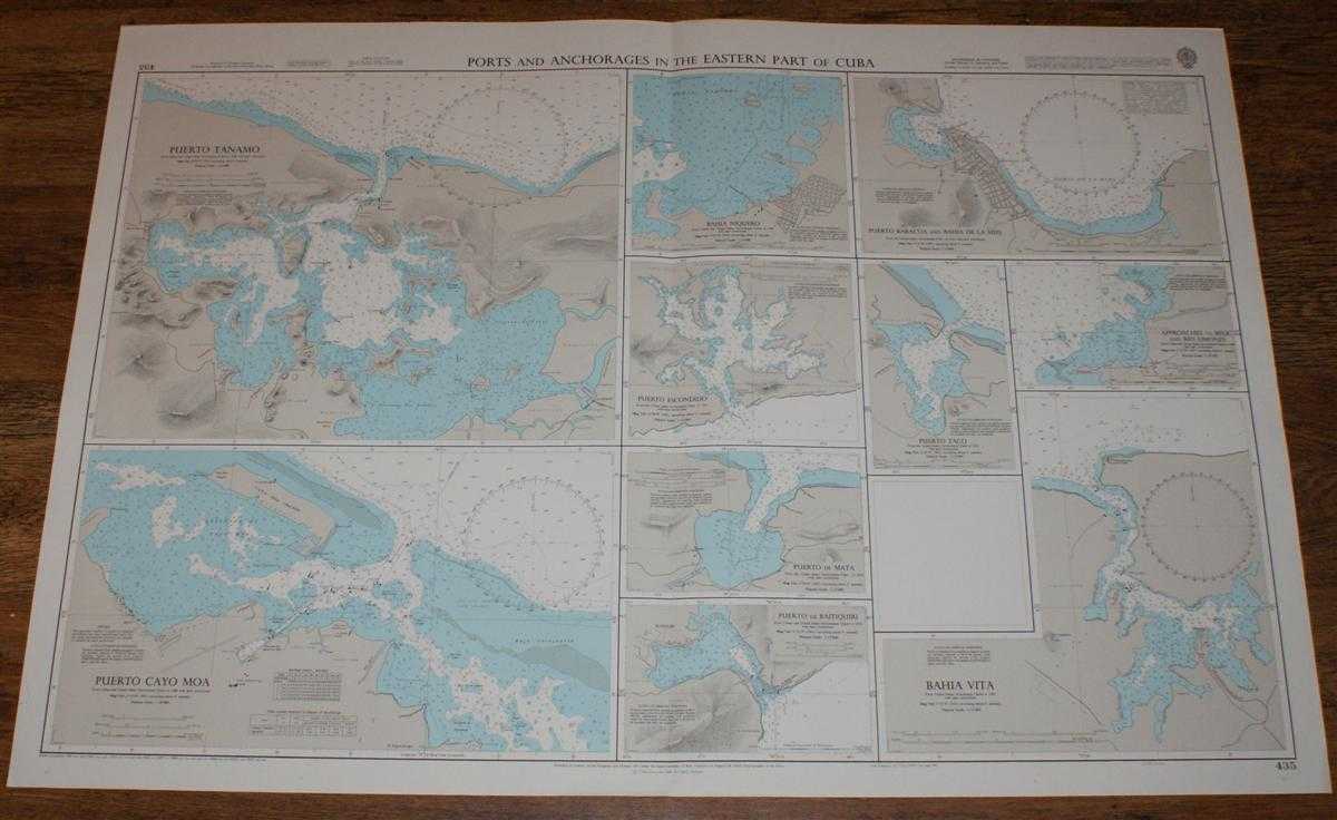
Nautical Chart No. 435 Ports and Anchorages in the Eastern Part of Cuba
Admiralty · 2001
£26.00 (€31.21 | $34.37 | ¥5,476)
Map Admiralty, 2001. Revised Edition, Softcover. Very Good Condition/No Dust Jacket. Crisp and clean colour chart with single vertical fold. Nautical Chart No. 435 Ports and Anchorages in the Eastern Part of Cuba. Copyright 1991 with small corrections to 2001. Sheet contains t...
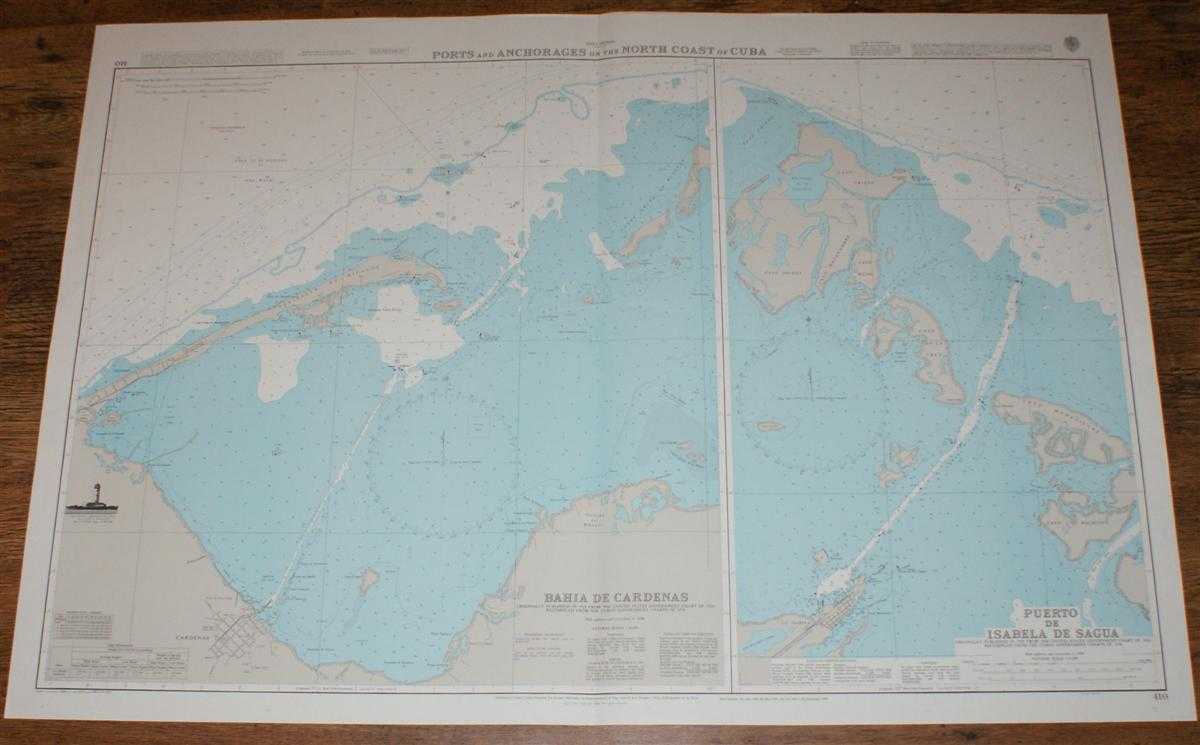
Nautical Chart No. 410 West Indies - Ports and Anchorages on the North Coast of Cuba
Admiralty · 2001
£26.00 (€31.21 | $34.37 | ¥5,476)
Map Admiralty, 2001. Revised Edition, Softcover. Very Good Condition/No Dust Jacket. Crisp and clean colour chart with single vertical fold. Nautical Chart No. 410 West Indies - Ports and Anchorages on the North Coast of Cuba. Copyright 1998 with small corrections to 2001. She...
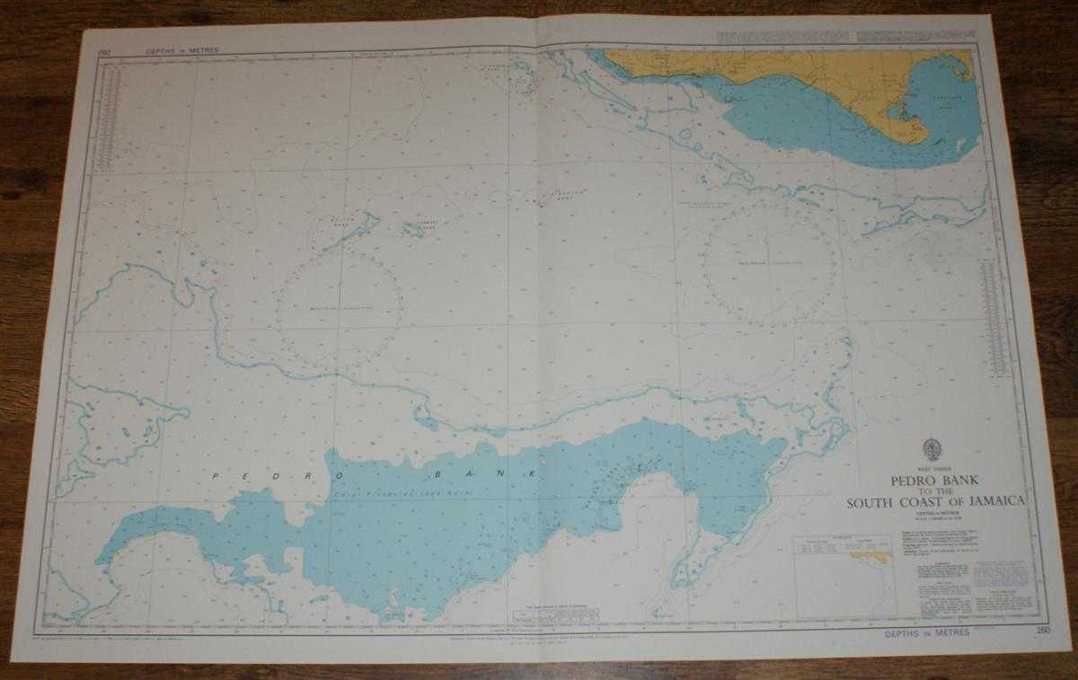
Nautical Chart No. 260 West Indies - Pedro Bank to the South Coast of Jamaica
Admiralty · 1999
£26.00 (€31.21 | $34.37 | ¥5,476)
Map Admiralty, 1999. Revised Edition, Softcover. Very Good Condition/No Dust Jacket. Crisp and clean colour chart with single vertical fold. Nautical Chart No. 260 West Indies - Pedro Bank to the South Coast of Jamaica. Copyright 1976 with small corrections to 1999. Scale 1:20...
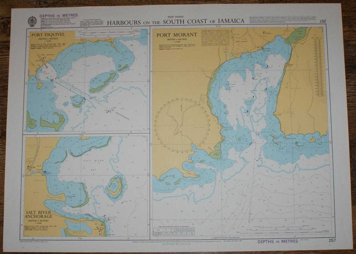
Nautical Chart No. 257 West Indies - Harbours on the South Coast of Jamaica
Admiralty · 1999
£26.00 (€31.21 | $34.37 | ¥5,476)
Map Admiralty, 1999. Revised Edition, Softcover. Very Good Condition/No Dust Jacket. Crisp and clean colour chart with no formal fold. Nautical Chart No. 257 West Indies - Harbours on the South Coast of Jamaica. Copyright 1988 with small corrections to 1999. Sheet contains thr...

Nautical Chart No. 481 Trinidad and Venezuela - Serpent's Mouth
Admiralty · 2000
£26.00 (€31.21 | $34.37 | ¥5,476)
Map Admiralty, 2000. Revised Edition, Softcover. Very Good Condition/No Dust Jacket. Crisp and clean colour chart with single vertical fold. Nautical Chart No. 481 Trinidad and Venezuela - Serpent's Mouth. Copyright 1995 with small corrections to 2000. Scale 1:75,000. Area Cov...
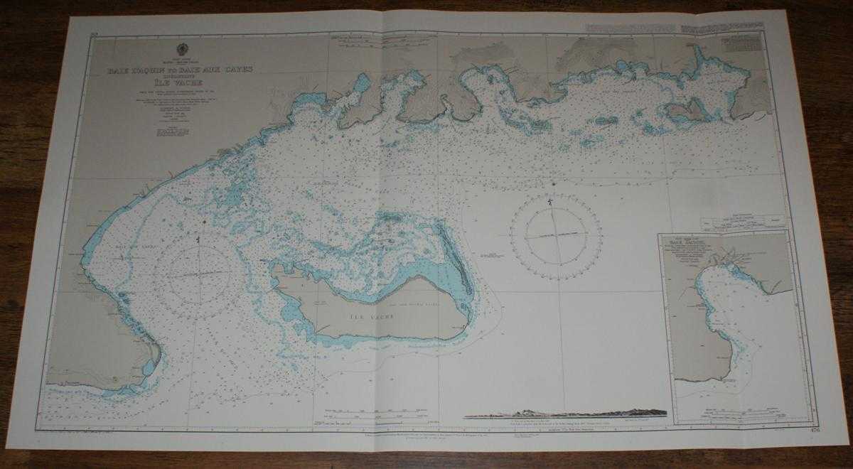
Nautical Chart No. 476 West Indies, Haiti - South Coast, Baie D'Aquin to Baie Aux Cayes including Ile Vache
Admiralty · 1999
£26.00 (€31.21 | $34.37 | ¥5,476)
Map Admiralty, 1999. Revised Edition, Softcover. Very Good Condition/No Dust Jacket. Crisp and clean colour chart with two vertical folds. Nautical Chart No. 476 West Indies, Haiti - South Coast, Baie D'Aquin to Baie Aux Cayes including Ile Vache. Copyright 1954 with small cor...