
Bailgate Books Ltd
Bøger
8001 bøger fra Bailgate Books Ltd
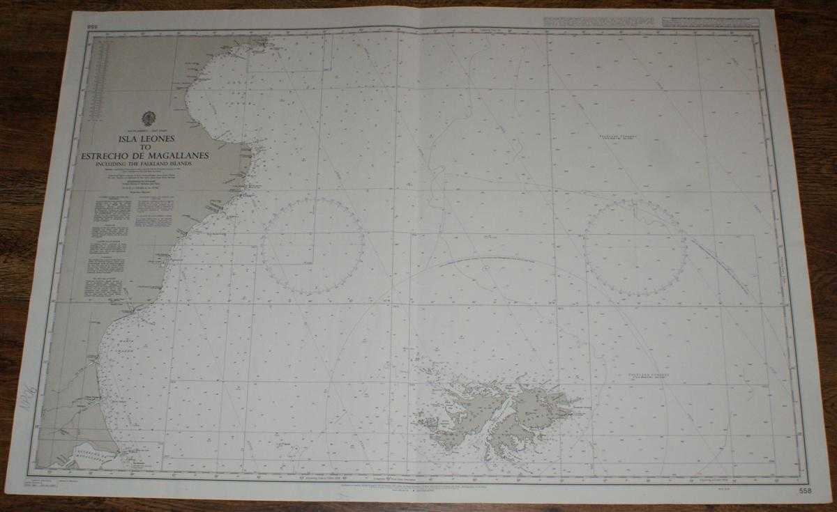
Nautical Chart No. 558 South America - East Coast, Isla Leones to Estrecho de Magallanes including the Falkland Islands
Admiralty · 2003
£26.00 (€31.21 | $34.37 | ¥5,476)
Map Admiralty, 2003. Revised Edition, Softcover. Very Good Condition/No Dust Jacket. Black and white chart with single vertical fold. Pencil annotation in bottom left margin and single staple in top right margin. Sheet is slightly worn. Nautical Chart No. 558 South America - E...
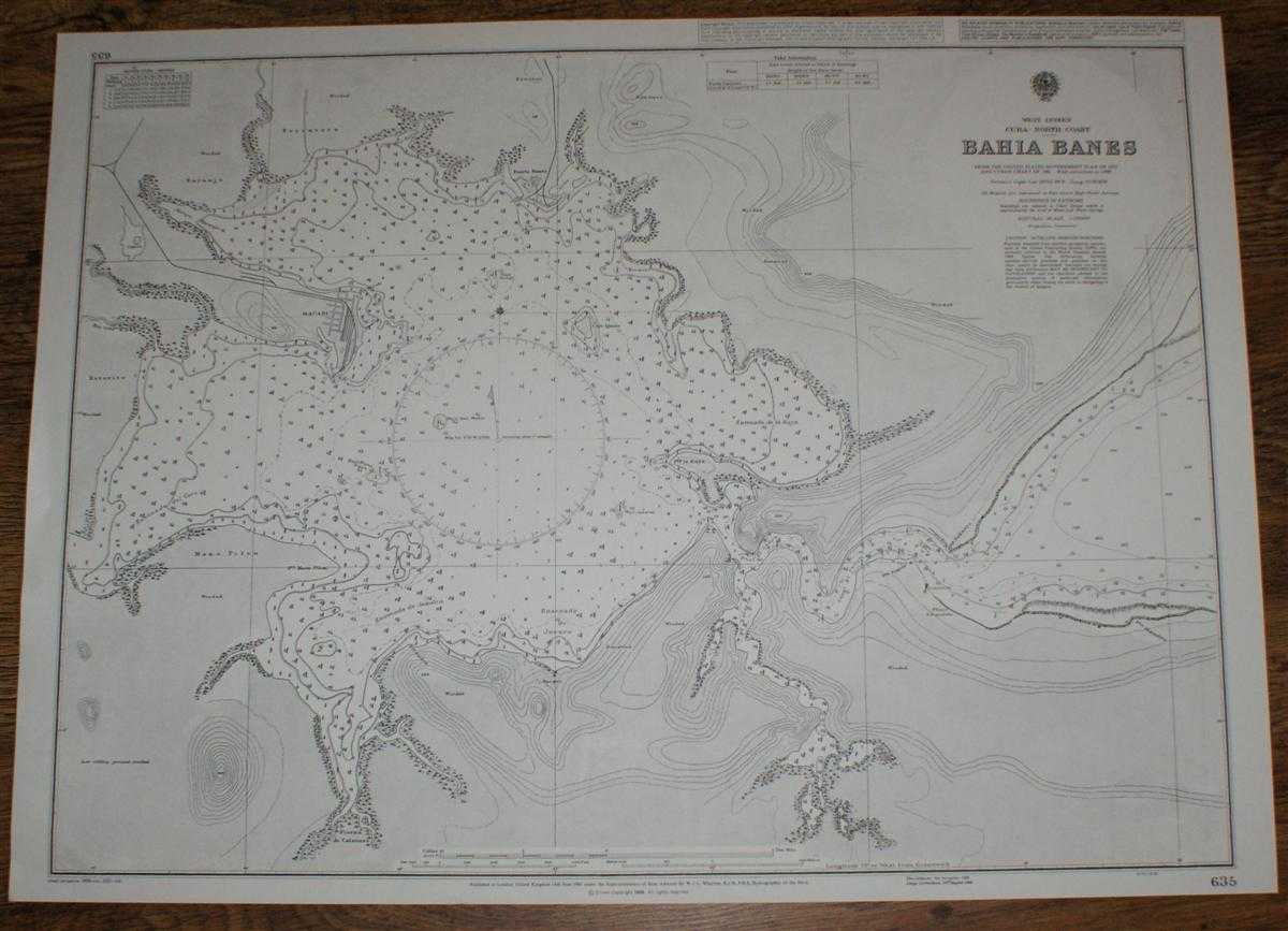
Nautical Chart No. 635 West Indies, Cuba - North coast, Bahia Banes
Admiralty · 2001
£22.00 (€26.41 | $29.08 | ¥4,634)
Map Admiralty, 2001. Revised Edition, Softcover. Very Good Condition/No Dust Jacket. Crisp and clean black and white chart with no formal fold. Nautical Chart No. 635 West Indies, Cuba - North coast, Bahia Banes. Copyright 1998 with small corrections to 2001. Scale 1:20,000. A...
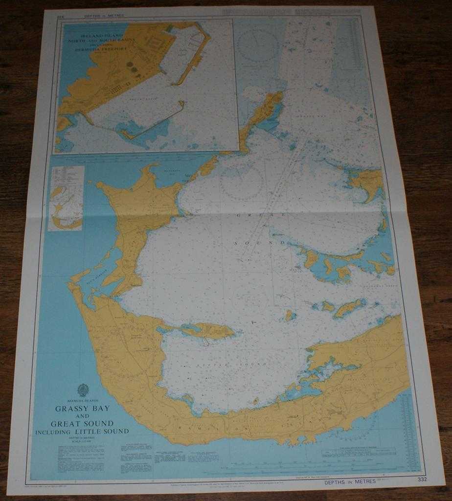
Nautical Chart No. 332 Bermuda Islands - Grassy Bay and Great Sound including Little Sound
Admiralty · 2001
£26.00 (€31.21 | $34.37 | ¥5,476)
Map Admiralty, 2001. Revised Edition, Softcover. Very Good Condition/No Dust Jacket. Crisp and clean colour chart with single horizontal fold. Nautical Chart No. 332 Bermuda Islands - Grassy Bay and Great Sound including Little Sound. Copyright 1993 with small corrections to 2...
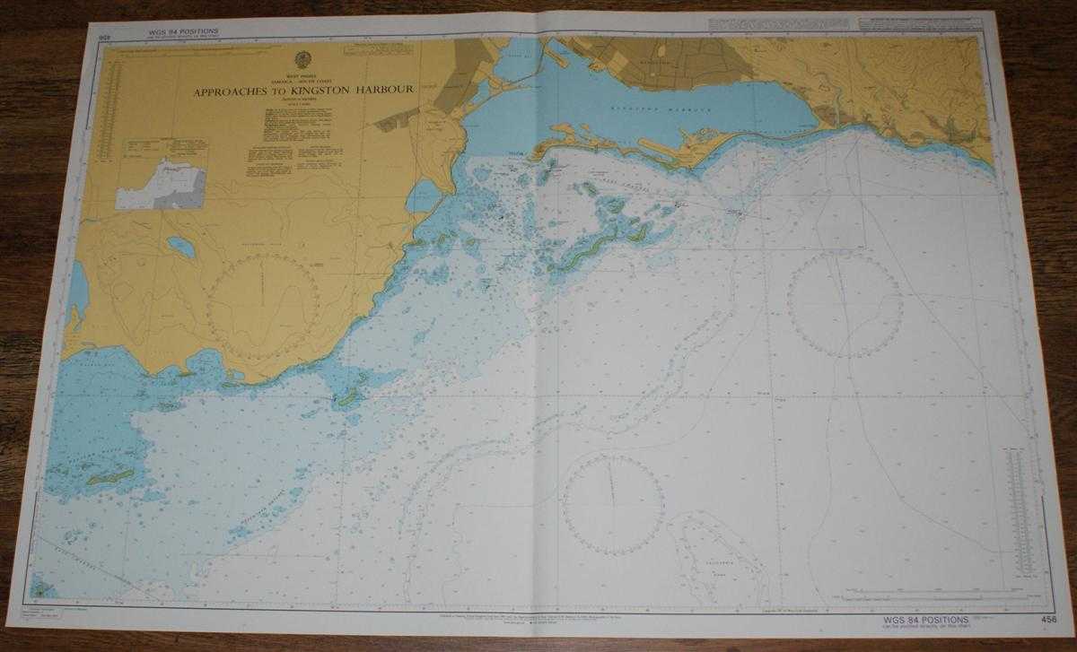
Nautical Chart No. 456 West Indies, Jamaica - South Coast, Approaches to Kingston Harbour
Admiralty · 2001
£26.00 (€31.21 | $34.37 | ¥5,476)
Map Admiralty, 2001. Revised Edition, Softcover. Very Good Condition/No Dust Jacket. Crisp and clean colour chart with single vertical fold. Several small pencil ticks. Nautical Chart No. 456 West Indies, Jamaica - South Coast, Approaches to Kingston Harbour. 2001 edition of 1...

Nautical Chart No. 98 Plans on the South Coast of Cuba including Puerto Casilda
Admiralty · 2001
£22.00 (€26.41 | $29.08 | ¥4,634)
Map Admiralty, 2001. Revised Edition, Softcover. Very Good Condition/No Dust Jacket. Crisp and clean black and white chart with no formal fold. Slight wear to edges. Nautical Chart No. 98 Plans on the South Coast of Cuba. Copyright 1998 with small corrections to 2001. Sheet is...
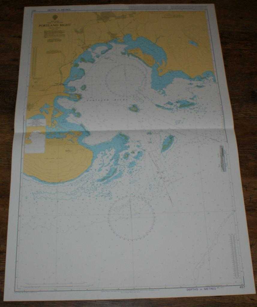
Nautical Chart No. 457 West Indies, Jamaica - South Coast, Portland Bight
Admiralty · 2001
£26.00 (€31.21 | $34.37 | ¥5,476)
Map Admiralty, 2001. Revised Edition, Softcover. Very Good Condition/No Dust Jacket. Crisp and clean colour chart with single horizontal fold. Nautical Chart No. 457 West Indies, Jamaica - South Coast, Portland Bight. Copyright 1988 with small corrections to 2001. Scale 1:40,0...
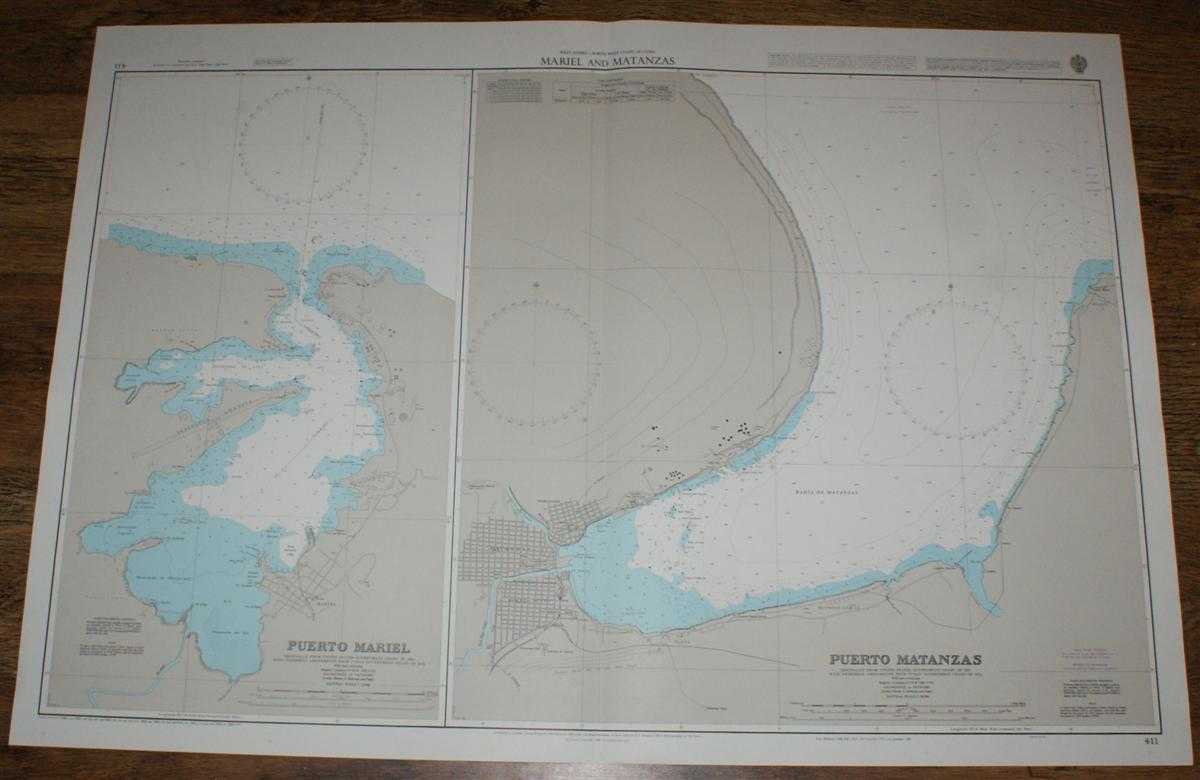
Nautical Chart No. 411 West Indies - North West Coast of Cuba, Mariel and Matanzas
Admiralty · 2001
£26.00 (€31.21 | $34.37 | ¥5,476)
Map Admiralty, 2001. Revised Edition, Softcover. Very Good Condition/No Dust Jacket. Crisp and clean colour chart with single vertical fold. Nautical Chart No. 411 West Indies - North West Coast of Cuba, Mariel and Matanzas. Copyright 1988 with small corrections to 2001. Sheet...

Nautical Chart No. 2995 Pacific Ocean - Christmas Island, Approaches to Port London
Admiralty · 2002
£26.00 (€31.21 | $34.37 | ¥5,476)
Map Admiralty, 2002. Revised Edition, Softcover. Very Good Condition/No Dust Jacket. Crisp and clean colour chart with single horizontal fold. Nautical Chart No. 2995 Pacific Ocean - Christmas Island, Approaches to Port London. Copyright 1964 with small corrections to 2002. Sc...

Nautical Chart No. 772 Pacific Ocean - Islands and Anchorages in the Caroline Islands
Admiralty · 2003
£26.00 (€31.21 | $34.37 | ¥5,476)
Map Admiralty, 2003. Revised Edition, Softcover. Very Good Condition/No Dust Jacket. Crisp and clean colour chart with single horizontal fold. Nautical Chart No. Copyright and printed with small corrections to. Scale 1:. Area Covered: Item Type: Map. Quantity Available: 1. Shi...
Nautical Chart No. 909 Pacific Ocean - Islands and Anchorages in the Caroline Islands
Admiralty · 2005
£26.00 (€31.21 | $34.37 | ¥5,476)
Map Admiralty, 2005. Revised Edition, Softcover. Very Good Condition/No Dust Jacket. Crisp and clean black and white chart with single vertical fold. Some tea stains on reverse which have not bled through to front of sheet. Nautical Chart No. 909 Pacific Ocean - Islands and An...
Nautical Chart No. 762 North Pacific Ocean - Caroline Islands, Eastern Part
Admiralty · 2005
£26.00 (€31.21 | $34.37 | ¥5,476)
Map Admiralty, 2005. Revised Edition, Softcover. Very Good Condition/No Dust Jacket. Crisp and clean colour chart with single vertical fold. Sheet is slightly crinkled along the top edge and very lightly marked on reverse. Nautical Chart No. 762 North Pacific Ocean - Caroline ...
Nautical Chart No. 763 North Pacific Ocean, Caroline Islands - Western Part
Admiralty · 2005
£26.00 (€31.21 | $34.37 | ¥5,476)
Map Admiralty, 2005. Revised Edition, Softcover. Very Good Condition/No Dust Jacket. Crisp and clean colour chart with single vertical fold. Nautical Chart No. 763 North Pacific Ocean, Caroline Islands - Western Part. 2002 edition of 1990 publication with notices to 2005. Scal...
Nautical Chart No. 2993 Central Pacific Ocean - Plans in Christmas Island
Admiralty · 1983
£26.00 (€31.21 | $34.37 | ¥5,476)
Map Admiralty, 1983. Revised Edition, Softcover. Very Good Condition/No Dust Jacket. Crisp and clean black and white chart with no folds. Nautical Chart No. 2993 Central Pacific Ocean - Plans in Christmas Island. Copyright 1963 with small corrections to 1983. Sheet contains tw...
Nautical Chart No. AUS 462 Pacific Ocean - Bismarck Archipelago, North Cape, New Ireland to Wuvulu Island
Admiralty · 2005
£26.00 (€31.21 | $34.37 | ¥5,476)
Map Admiralty, 2005. Revised Edition, Softcover. Very Good Condition/No Dust Jacket. Crisp and clean colour chart with two vertical folds. Nautical Chart No. AUS 462 Pacific Ocean - Bismarck Archipelago, North Cape, New Ireland to Wuvulu Island. Copyright 1993 with small corre...
Nautical Chart No. AUS 519 Papua New Guinea - North East Coast, Ward Hunt Strait to Star Reefs Passage
Admiralty · 2005
£26.00 (€31.21 | $34.37 | ¥5,476)
Map Admiralty, 2005. Revised Edition, Softcover. Very Good Condition/No Dust Jacket. Crisp and clean colour chart with two horizontal folds. Small "Reef and Shoal Delimitation" notice pasted to sheet under title block. Nautical Chart No. AUS 519 Papua New Guinea - North East C...
Nautical Chart No. AUS 387 South Pacific Ocean - Papua New Guinea, Vitiaz Strait to Isumrud Strait
Admiralty · 2005
£26.00 (€31.21 | $34.37 | ¥5,476)
Map Admiralty, 2005. Revised Edition, Softcover. Very Good Condition/No Dust Jacket. Crisp and clean colour chart with single vertical fold. Nautical Chart No. AUS 387 South Pacific Ocean - Papua New Guinea, Vitiaz Strait to Isumrud Strait. Copyright 1992 with small correction...
Nautical Chart No. AUS 389 Papua New Guinea - North Coast, Kairiru Island to Vanimo Harbour
Admiralty · 2005
£26.00 (€31.21 | $34.37 | ¥5,476)
Map Admiralty, 2005. Revised Edition, Softcover. Very Good Condition/No Dust Jacket. Crisp and clean colour chart with single vertical fold. Nautical Chart No. 389 Papua New Guinea - North Coast, Kairiru Island to Vanimo Harbour. Copyright 1969 with small corrections to 2005. ...
Nautical Chart No. AUS 388 Papua New Guinea - North Coast, Karkar Island to Kairiru Island
Admiralty · 2005
£26.00 (€31.21 | $34.37 | ¥5,476)
Map Admiralty, 2005. Revised Edition, Softcover. Very Good Condition/No Dust Jacket. Crisp and clean colour chart with two vertical folds. Nautical Chart No. 388 Papua New Guinea - North Coast, Karkar Island to Kairiru Island. Copyright 1991 with small corrections to 2005. Sca...
Nautical Chart No. AUS 397 Papua New Guinea - Gazelle Peninsula and St. Georges Channel
Admiralty · 2005
£26.00 (€31.21 | $34.37 | ¥5,476)
Map Admiralty, 2005. Revised Edition, Softcover. Very Good Condition/No Dust Jacket. Crisp and clean colour chart with single vertical fold. Nautical Chart No. AUS 397 Papua New Guinea - Gazelle Peninsula and St. Georges Channel. Copyright 1993 with small corrections to 2005. ...
Nautical Chart No. AUS 399 South Pacific Ocean - Bougainville Island
Admiralty · 2005
£26.00 (€31.21 | $34.37 | ¥5,476)
Map Admiralty, 2005. Revised Edition, Softcover. Very Good Condition/No Dust Jacket. Crisp and clean colour chart with two horizontal folds. Nautical Chart No. AUS 399 South Pacific Ocean - Bougainville Island. Copyright 1999 with small corrections to 2005. Scale 1:300,000. Ar...