
Bailgate Books Ltd
Bøger
8001 bøger fra Bailgate Books Ltd
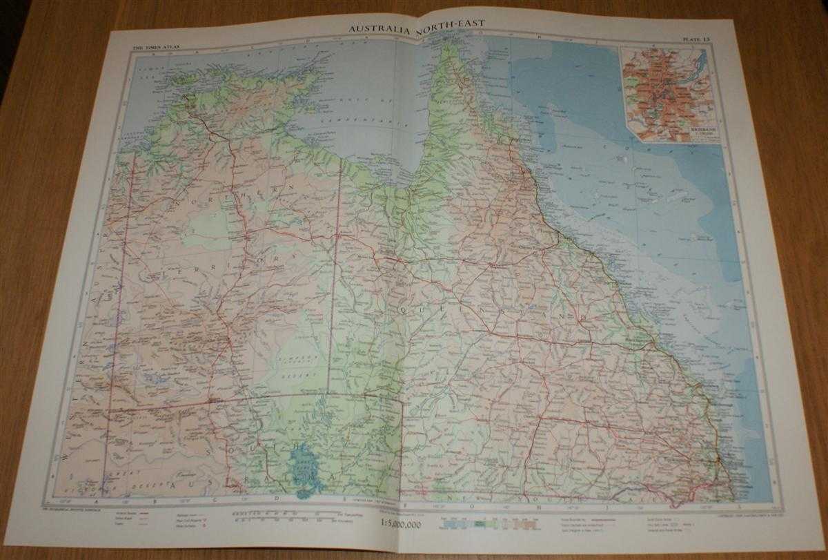
Map of 'Australia North-East' - Plate 13 disbound from 1958 Mid-Century Times Atlas of the World, including Northern Territory and Queensland with plan of Brisbane
John Bartholomew · 1958
£26.00 (€31.21 | $34.37 | ¥5,476)
The Times Publishing Company Ltd. London, 1958. Mid-Century Edition, Softcover. Very Good Condition/No Dust Jacket. Single disbound map sheet from 'The Times Atlas of the World, Mid-Century Edition; Volume I The World, Australia & East Asia' suitable for framing. Map is in col...

Map of 'Australia South-East' - Plate 12 disbound from 1958 Mid-Century Times Atlas of the World, including South Australia, New South Wales, Victoria, Tasmania with plans of Sydney and Melbourne
John Bartholomew · 1958
£26.00 (€31.21 | $34.37 | ¥5,476)
The Times Publishing Company Ltd. London, 1958. Mid-Century Edition, Softcover. Very Good Condition/No Dust Jacket. Single disbound map sheet from 'The Times Atlas of the World, Mid-Century Edition; Volume I The World, Australia & East Asia' suitable for framing. Map is in col...

Map of New Zealand - Plate 11 disbound from 1958 Mid-Century Times Atlas of the World
John Bartholomew · 1958
£26.00 (€31.21 | $34.37 | ¥5,476)
The Times Publishing Company Ltd. London, 1958. Mid-Century Edition, Softcover. Very Good Condition/No Dust Jacket. Single disbound map sheet from 'The Times Atlas of the World, Mid-Century Edition; Volume I The World, Australia & East Asia' suitable for framing. Map is in col...
Map of Australasia and the South-West Pacific - Plate 10 disbound from 1958 Mid-Century Times Atlas of the World including Australia, New Zealand, New Guinea, Fiji, etc. (on Bonne Projection)
John Bartholomew · 1958
£28.00 (€33.61 | $37.01 | ¥5,898)
The Times Publishing Company Ltd. London, 1958. Mid-Century Edition, Softcover. Very Good Condition/No Dust Jacket. Single disbound map sheet from 'The Times Atlas of the World, Mid-Century Edition; Volume I The World, Australia & East Asia' suitable for framing. Map is in col...
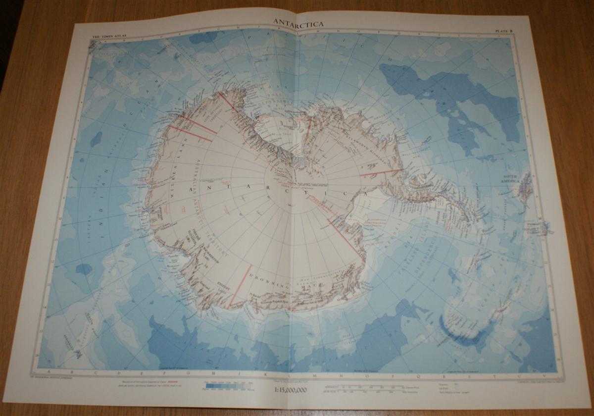
Map of Antarctica - Plate 8 disbound from 1958 Mid-Century Times Atlas of the World using Zenithal Equidistant Projection
John Bartholomew · 1958
£28.00 (€33.61 | $37.01 | ¥5,898)
The Times Publishing Company Ltd. London, 1958. Mid-Century Edition, Softcover. Very Good Condition/No Dust Jacket. Single disbound map sheet from 'The Times Atlas of the World, Mid-Century Edition; Volume I The World, Australia & East Asia' suitable for framing. Map is in col...
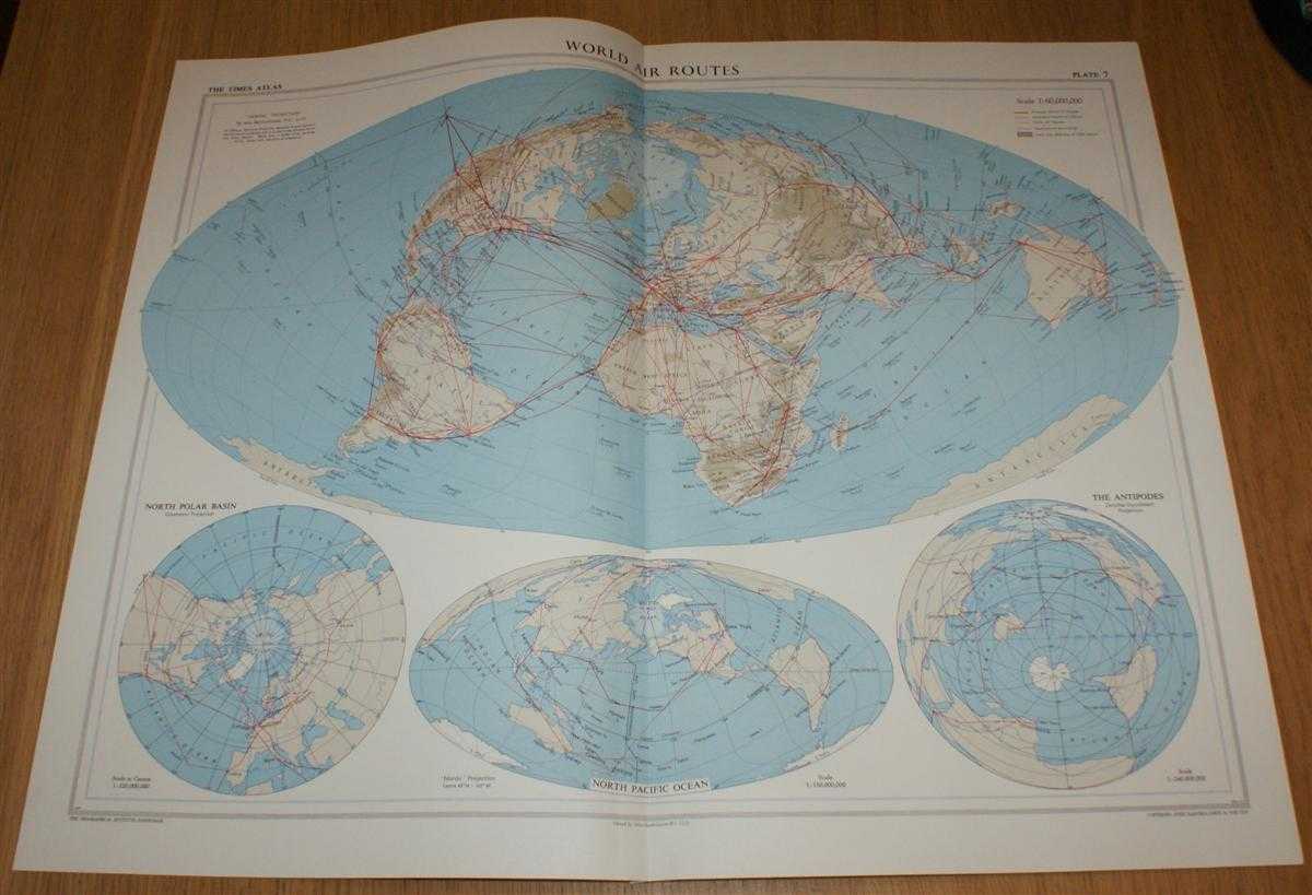
Map showing 'World Air Routes' - Plate 7 disbound from 1958 Mid-Century Times Atlas of the World using Bartholomew's 'Nordic' Projection
John Bartholomew · 1958
£25.00 (€30.01 | $33.05 | ¥5,266)
The Times Publishing Company Ltd. London, 1958. Mid-Century Edition, Softcover. Very Good Condition/No Dust Jacket. Single disbound map sheet from 'The Times Atlas of the World, Mid-Century Edition; Volume I The World, Australia & East Asia' suitable for framing. Map is in col...
Map showing 'World Surface Routes' - Plate 6 disbound from 1958 Mid-Century Times Atlas of the World showing Ocean Currents, Transport Routes and Standard Time Differences across the World
John Bartholomew · 1958
£25.00 (€30.01 | $33.05 | ¥5,266)
The Times Publishing Company Ltd. London, 1958. Mid-Century Edition, Softcover. Very Good Condition/No Dust Jacket. Single disbound map sheet from 'The Times Atlas of the World, Mid-Century Edition; Volume I The World, Australia & East Asia' suitable for framing. Map is in col...
Map showing World Mankind (Winkel's 'Tripel' Projection) showing; Distribution and Density of Population, Races, Languages and Religions - Plate 5 disbound from 1958 Mid-Century Times Atlas of the World
John Bartholomew · 1958
£24.00 (€28.81 | $31.73 | ¥5,055)
The Times Publishing Company Ltd. London, 1958. Mid-Century Edition, Softcover. Very Good Condition/No Dust Jacket. Single disbound map sheet from 'The Times Atlas of the World, Mid-Century Edition; Volume I The World, Australia & East Asia' suitable for framing. Map is in col...
Map showing World Vegetation (Winkel's 'Tripel' Projection); Types of Natural Vegetation, Temperature and Land Use - Plate 4 disbound from 1958 Mid-Century Times Atlas of the World
John Bartholomew · 1958
£24.00 (€28.81 | $31.73 | ¥5,055)
The Times Publishing Company Ltd. London, 1958. Mid-Century Edition, Softcover. Very Good Condition/No Dust Jacket. Single disbound map sheet from 'The Times Atlas of the World, Mid-Century Edition; Volume I The World, Australia & East Asia' suitable for framing. Map is in col...

Map showing World Climatology (Winkel's 'Tripel' Projection); Mean Annual Precipitation, Air Movements and Storm Tracks - Plate 3 disbound from 1958 Mid-Century Times Atlas of the World
John Bartholomew · 1958
£24.00 (€28.81 | $31.73 | ¥5,055)
The Times Publishing Company Ltd. London, 1958. Mid-Century Edition, Softcover. Very Good Condition/No Dust Jacket. Single disbound map sheet from 'The Times Atlas of the World, Mid-Century Edition; Volume I The World, Australia & East Asia' suitable for framing. Map is in col...

Map showing World Physiography (Bartholomew's 'Regional' Projection); Vulcanolgy, Structural Geology and Seismology - Plate 1 disbound from 1958 Mid-Century Times Atlas of the World
John Bartholomew · 1958
£22.00 (€26.41 | $29.08 | ¥4,634)
The Times Publishing Company Ltd. London, 1958. Mid-Century Edition, Softcover. Very Good Condition/No Dust Jacket. Single disbound map sheet from 'The Times Atlas of the World, Mid-Century Edition; Volume I The World, Australia & East Asia' suitable for framing. Map is in col...
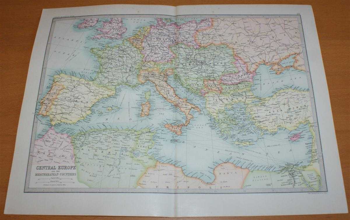
Map of 'Central Europe and Mediterranean' - Sheet 28 disbound from the 1890 'The Library Reference Atlas of the World' with Spain, France, Italy, Sicily, Sardinia, Malta, Austria-Hungary, Turkey, Greece, Crete, Cyprys, etc.
John Bartholomew · 1890
£34.00 (€40.81 | $44.95 | ¥7,161)
Macmillan and Co. London, 1890. First Edition, Softcover. Very Good Condition/No Dust Jacket. Single disbound coloured map sheet, from John Bartholomew's Library Reference Atlas. Suitable for framing. Approx size 35 x 46cm, vertical centre fold. Map is clean, crisp and bright,...
Map of 'Dominion of Canada - Western Provinces, British Colombia and North-West Territory' - Sheet 64 disbound from the 1890 'The Library Reference Atlas of the World' with Athabasca, Alberta, Saskatchewan, Assinibola and Manitoba
John Bartholomew · 1890
£35.00 (€42.01 | $46.27 | ¥7,372)
Macmillan and Co. London, 1890. First Edition, Softcover. Very Good Condition/No Dust Jacket. Single disbound coloured map sheet, from John Bartholomew's Library Reference Atlas. Suitable for framing. Approx size 35 x 46cm, vertical centre fold. Occasional light foxing in marg...
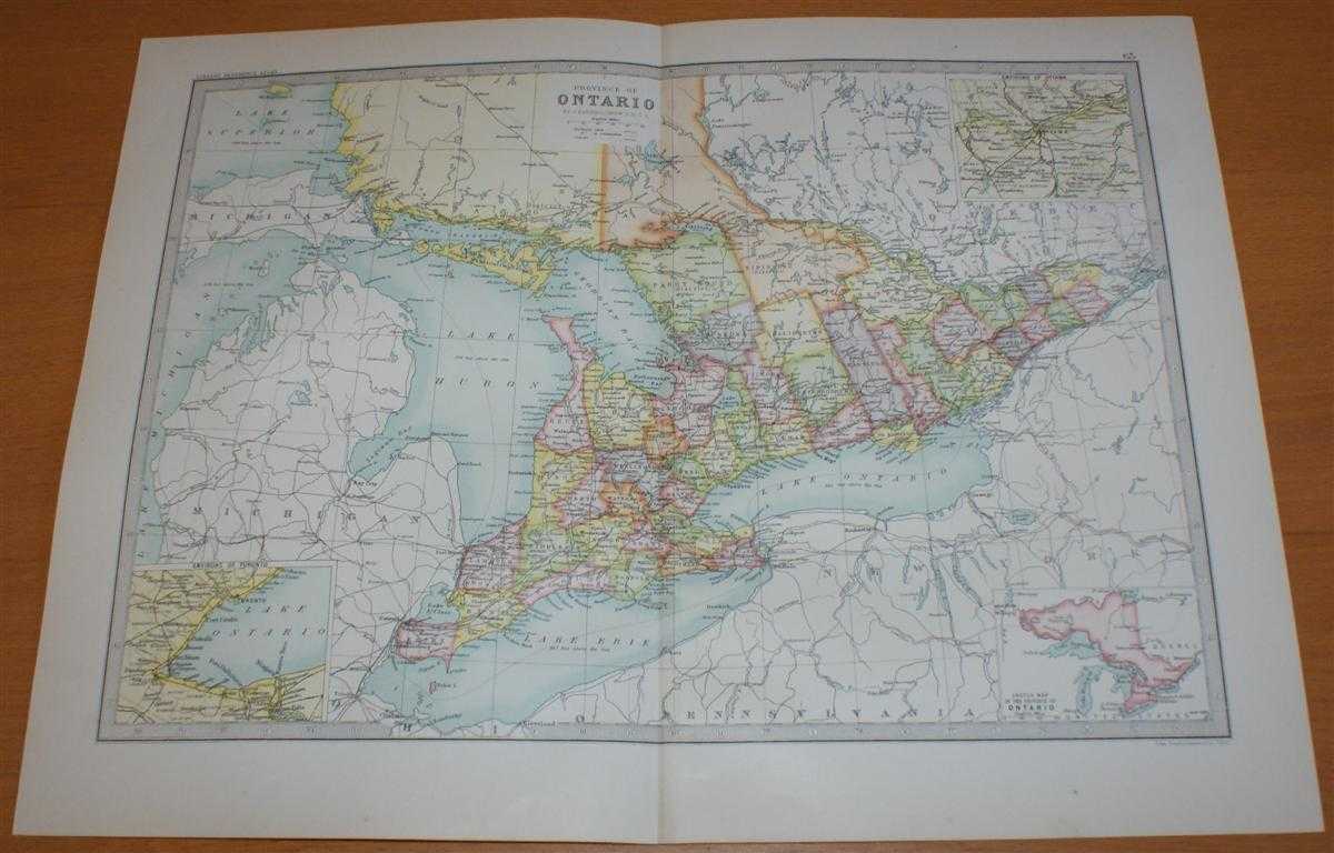
Map of 'Province of Ontario' - Sheet 63 disbound from the 1890 'The Library Reference Atlas of the World' with inset panels showing Environs of Toronto and Ottawa
John Bartholomew · 1890
£34.00 (€40.81 | $44.95 | ¥7,161)
Macmillan and Co. London, 1890. First Edition, Softcover. Very Good Condition/No Dust Jacket. Single disbound coloured map sheet, from John Bartholomew's Library Reference Atlas. Suitable for framing. Approx size 35 x 46cm, vertical centre fold. Map is clean, crisp and bright,...
Map of 'Province of Quebec' - Sheet 62 disbound from the 1890 'The Library Reference Atlas of the World' with inset panels showing Environs of Montreal and Quebec
John Bartholomew · 1890
£34.00 (€40.81 | $44.95 | ¥7,161)
Macmillan and Co. London, 1890. First Edition, Softcover. Very Good Condition/No Dust Jacket. Single disbound coloured map sheet, from John Bartholomew's Library Reference Atlas. Suitable for framing. Approx size 35 x 46cm, vertical centre fold. Map is clean, crisp and bright,...
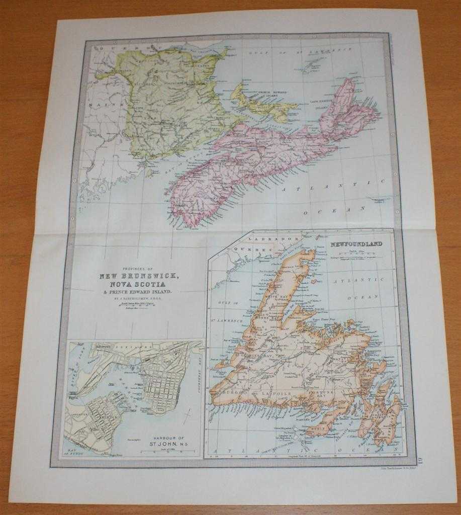
Map of Newfoundland, New Brunswick, Nova Scotia & Prince Edward Island - Sheet 61 disbound from the 1890 'The Library Reference Atlas of the World', 'Canada Lower Provinces' with Plan of St John Harbour
John Bartholomew · 1890
£34.00 (€40.81 | $44.95 | ¥7,161)
Macmillan and Co. London, 1890. First Edition, Softcover. Very Good Condition/No Dust Jacket. Single disbound coloured map sheet, from John Bartholomew's Library Reference Atlas. Suitable for framing. Approx size 46 x 35cm, horizontal centre fold. Map is clean, crisp and brigh...
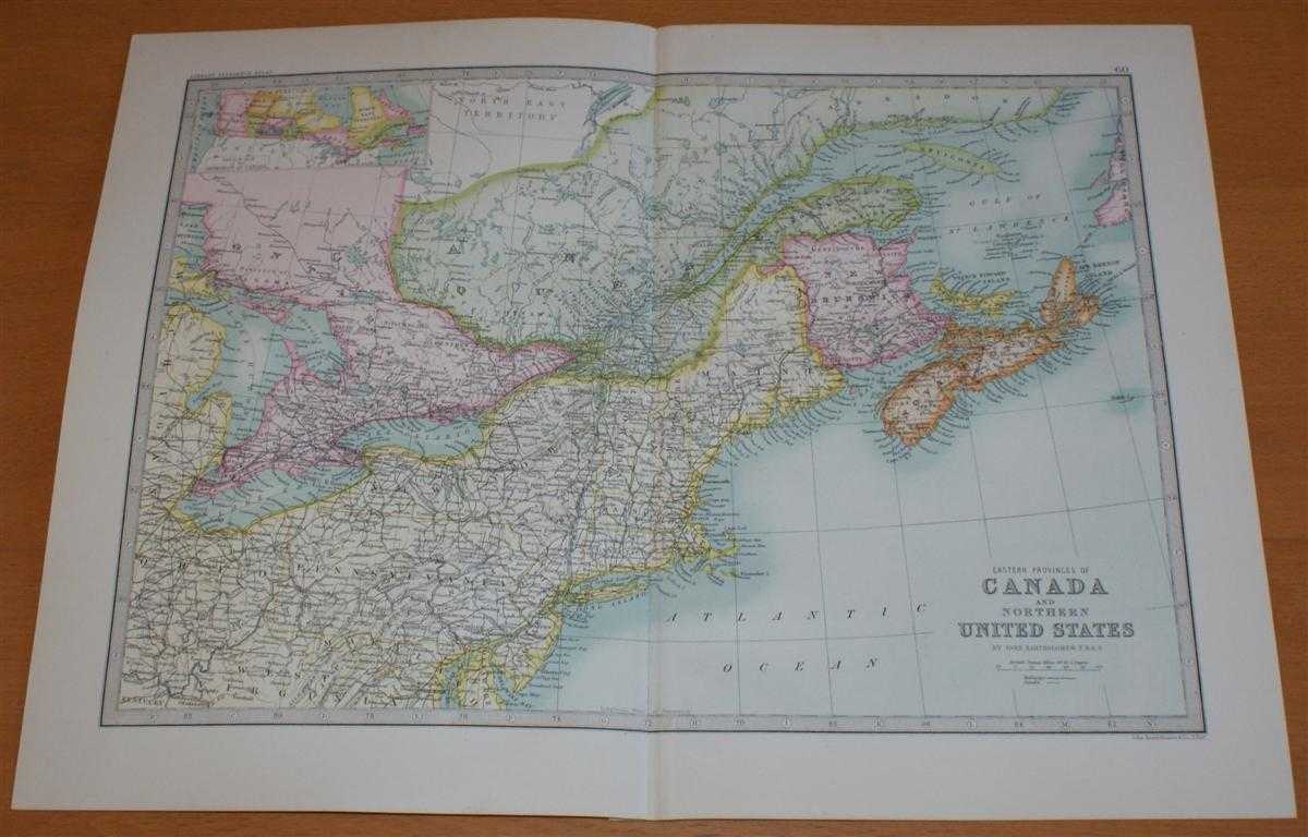
Map of 'Eastern Provinces of Canada and Northern United States' - Sheet 60 disbound from the 1890 'The Library Reference Atlas of the World' with Nova Scotia, New Brunswick, Maine, New York, Pennsylvania, and parts of Quebec and Ontario
John Bartholomew · 1890
£36.00 (€43.21 | $47.59 | ¥7,583)
Macmillan and Co. London, 1890. First Edition, Softcover. Very Good Condition/No Dust Jacket. Single disbound coloured map sheet, from John Bartholomew's Library Reference Atlas. Suitable for framing. Approx size 35 x 46cm, vertical centre fold. Map is clean, crisp and bright....

Map of Asia - Sheet 41 disbound from the 1890 'The Library Reference Atlas of the World' with the Chinese, Turksish and Russian Empires, India, Persia, Arabia, Siam, Malaysia, Japan, etc.
John Bartholomew · 1890
£38.00 (€45.62 | $50.23 | ¥8,004)
Macmillan and Co. London, 1890. First Edition, Softcover. Very Good Condition/No Dust Jacket. Single disbound coloured map sheet, from John Bartholomew's Library Reference Atlas. Suitable for framing. Approx size 35 x 46cm, vertical centre fold. Occasional light foxing in marg...

Map of 'Turkey in Asia, Persia, Arabia, Egypt & Nile Countries' with Cyrup and the Suez Canal - Sheet 42 disbound from the 1890 'The Library Reference Atlas of the World' including modern day Turkey, Syria, Saudi Arabia and and Iraq
John Bartholomew · 1890
£37.00 (€44.42 | $48.91 | ¥7,793)
Macmillan and Co. London, 1890. First Edition, Softcover. Very Good Condition/No Dust Jacket. Single disbound coloured map sheet, from John Bartholomew's Library Reference Atlas. Suitable for framing. Approx size 46 x 35cm, horizontal centre fold. Occasional light foxing in ma...
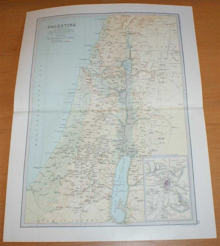
Map of Palestine - Sheet 43 disbound from the 1890 'The Library Reference Atlas of the World' from Surafend (Sarafand) to the Dead Sea, including Tyre, Jerusalem and Beersheba
John Bartholomew · 1890
£37.00 (€44.42 | $48.91 | ¥7,793)
Macmillan and Co. London, 1890. First Edition, Softcover. Very Good Condition/No Dust Jacket. Single disbound coloured map sheet, from John Bartholomew's Library Reference Atlas. Suitable for framing. Approx size 46 x 35cm, horizontal centre fold. Occasional light foxing in ma...